Best route planner for cyclists 2026: compared
Tailwind GPS vs Strava, Komoot, Ride with GPS, and Garmin Connect — a 2026 comparison of cycling route planners, with weather scoring for the routes you already ride.
If you already have routes you ride and the real question is when to leave — and which loop will feel best given today's forecast — Tailwind GPS is the planner built for that. Strava, Komoot, Ride with GPS, and Garmin Connect still matter for discovery, social features, and device sync. They do not score your saved rides for wind, temperature, and rain along each segment, or rank departure hours the way Tailwind does.
This guide puts Tailwind GPS first, then covers how the other major apps fit around it. For why a score beats a wind overlay, see stop guessing, start scoring.
Quick answer
| Goal | Top pick |
|---|---|
| Scoring saved routes and picking a departure hour | Tailwind GPS |
| Finding new routes and navigating | Komoot or Ride with GPS (then score timing in Tailwind) |
| Ride history and social segments | Strava |
| Syncing to a Garmin head unit | Garmin Connect |
| Studying wind charts in depth | myWindsock or Epic Ride Weather |
Tailwind GPS sits in the same planning stack as the big four. It is not a side niche — it is the layer that answers conditions and timing once your routes exist.
Tailwind GPS: weather-scored route planning
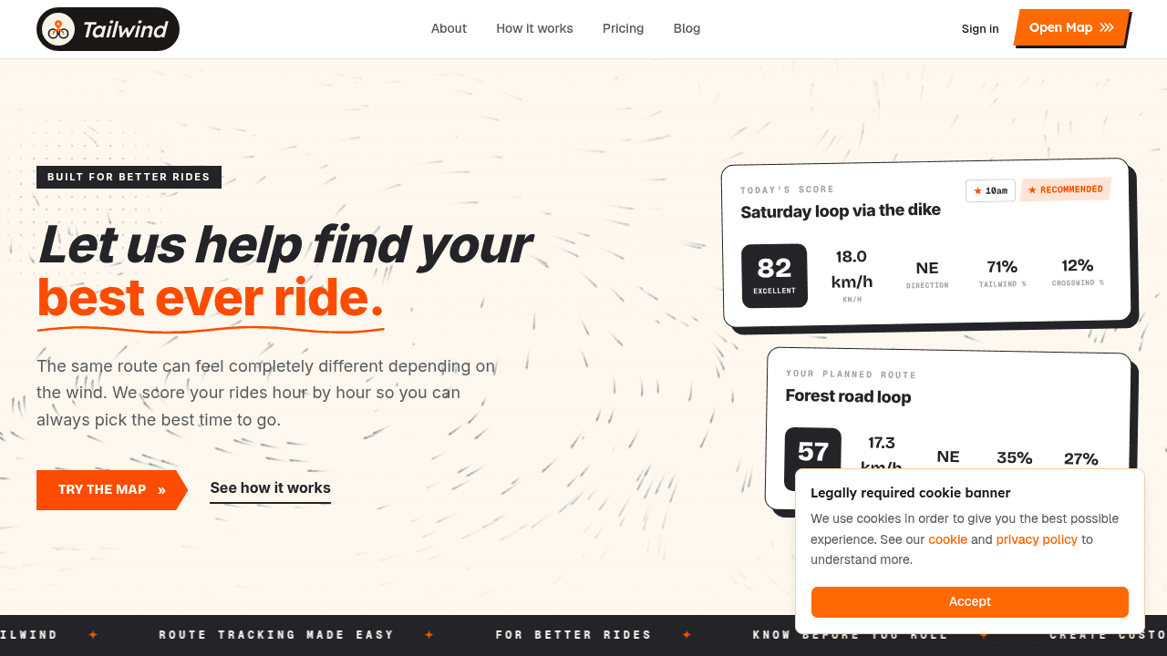
Tailwind GPS takes routes you already ride, scores them for conditions, and tells you when to leave. Connect Strava and your routes import automatically. Or add a GPX, or draw on the map. Tailwind then scores each route across a planning window — up to 14 days on the paid plan, three days on free — using wind, temperature, and rain along each segment, timed to where you will be at your pace.
What you get:
- A clear score per route, per departure hour
- A weekend view of which saved loop looks best
- Alerts when scores hit a threshold you set — for a good tailwind day, or for a headwind session on purpose
- Nearby alternatives when your usual roads look poor
- Browser-based turn-by-turn when you have a signal, plus GPX share for friends and clubs
The free plan covers up to three saved routes and a three-day forecast. That is enough to try the workflow on your regular rides before deciding on a subscription.
Example. You have a 40 km weekend loop. Friday evening you open Tailwind — Saturday at 8am looks mediocre (westerly on a north-facing stretch). Sunday at 9am scores higher because the wind pushes you home on the back half. Your shorter weekday loop is fine both days. You pick a window in under two minutes, without translating a generic forecast onto every road yourself.
Cyclist magazine's "Best cycle route apps 2026" roundup still centres Strava, Komoot, Ride with GPS, and Garmin Connect. Those cover discovery and devices. For day-to-day ride quality on routes you already use, weather scoring is the gap Tailwind fills.
At-a-glance comparison
| Feature | Tailwind GPS | Strava | Komoot | Ride with GPS | Garmin Connect |
|---|---|---|---|---|---|
| Offline maps | No (planning tool) | No | Yes (download) | Yes (Premium) | Device-dependent |
| Turn-by-turn navigation | Yes (browser, online) | Basic | Yes | Yes | Via device |
| GPX export / share | Yes | Yes | Yes | Yes | Yes |
| Device sync (Garmin/Wahoo) | Via export | Yes | Yes | Yes | Native |
| Route discovery | Via Strava import + map | Good | Good | Good | Limited |
| Wind/weather integration | Core feature | Basic overlay | Premium add-on | Wind layer (NOAA) | Basic |
| Route-level segment forecasting | Yes | No | No | Partial | No |
| Departure-time planning | Yes | No | No | No | No |
| Alerts/thresholds | Yes | No | No | No | No |
| Strava workflow | Native sync | Native | Partial | Partial | Partial |
How the other major planners fit
They are useful for building and navigating routes. None of them replace Tailwind for scored departure decisions.
Strava
Strava's route builder lets you draw or trace rides and surfaces popularity data from other cyclists. The social layer — segments, leaderboards, local patterns — is why many riders already live there.
Weather support stays thin: basic overlays at best, no route-level scoring or departure ranking. If your routes live in Strava, connect them to Tailwind GPS and get scores without redrawing anything.
Best for: activity history and social riding. Pair with Tailwind for conditions.
Komoot
Komoot helps with gravel, MTB, and multi-day touring through sport-specific routing and community Highlights. Komoot Premium can show weather along a route, but that is display — not a score, not a ranked departure window, and not alerts.
Build or discover in Komoot when you need a new line on the map. Score timing in Tailwind GPS when you care how that line will feel on Saturday morning.
Best for: discovering new terrain. Use Tailwind for when to ride what you save.
Ride with GPS

Ride with GPS suits precise manual building, club sharing, and device export to Garmin, Wahoo, and Hammerhead. In August 2024 it added a NOAA-based wind layer (reported by BIKEPACKING.com). That layer shows wind on a map; it does not turn conditions into a ride score or a recommended hour to leave.
Best for: building and exporting routes. Use Tailwind when you need weather-scored timing.
Garmin Connect
Connect is the straightforward path if you already ride a Garmin Edge. Syncing to the device works. Weather planning is not a focus, and the route builder is basic.
Best for: pushing routes to Garmin hardware. Plan conditions in Tailwind first when you can choose your hour.
Why a weather app (or a wind layer) still isn't enough
A normal weather app shows wind at a single point. A wind layer on a route planner shows arrows on a map. What you need as a cyclist is whether the outbound leg will fight you, whether rain arrives mid-ride, and whether 7am or 9am is the better window on your geometry.
That needs segment-level forecasting for wind, temperature, and rain — then a score you can act on. Tailwind GPS is built around that. The tools below go further than a postcode forecast, but they are denser analysis products rather than a scored daily decision tool.
Epic Ride Weather
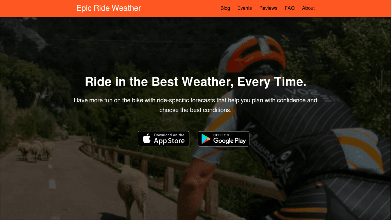
Epic Ride Weather shows wind, rain, and temperature minute-by-minute along a route and lets you compare start times. Useful for studying one ride in detail. It is less set up for scoring a whole library of familiar loops over multiple days, or for alerts when your preferred conditions appear.
Best for: deep analysis of a single event or one-off ride. Tailwind is simpler for everyday scored planning.
myWindsock
myWindsock offers detailed cycling wind modelling and proprietary metrics. Suited to riders who want to study charts. Slower if you only need a quick 7am-vs-8am answer.
Best for: performance analysis. Tailwind for a single score and departure window.
Headwind app
Headwind connects to Strava and scores a commute by wind difficulty. Fine for a fixed point-to-point. Limited for variable weekend loops, and scoring methodology is not clearly documented.
Best for: a simple commute check. Tailwind covers multiple routes and a wider planning window.
Windy
Windy is a weather visualiser for large-scale patterns. It does not know your route or score segments. Useful background; not a ride decision tool.
How to choose
- Do you repeat routes? Start with Tailwind GPS — scores on what you already ride beat another discovery app.
- Do conditions change your ride? If wind, temperature, or rain matter, use a weather-scored planner (Tailwind) rather than a map alone.
- Flexible start times? Departure-hour scoring is where Tailwind pays off.
- Need offline maps? Use Komoot or Ride with GPS Premium for remote gravel navigation; still score the ride in Tailwind when you can choose the day and hour.
- Exporting to a head unit? Build or export where you prefer, then use Tailwind as the conditions layer before you roll out.
Most UK riders do well with a simple stack: keep your existing builder or Strava library, and use Tailwind GPS to decide which route and which hour.
Mini FAQ
Can I use Tailwind without rebuilding routes? Yes. Strava sync imports them. Otherwise use GPX.
How does Tailwind pick a departure time? It models how conditions shift across hours and surfaces the windows where your route scores highest — wind, temperature, and rain on your geometry, not a single station reading.
FAQ: best route planner for cyclists (UK)
Which cycling app works best with Strava routes? Tailwind GPS syncs with Strava and scores your saved rides for wind, temperature, and rain without rebuilding them. Strava's builder is fine for drawing and discovering; Tailwind answers when those routes will feel good.
Do any route planners account for wind? Tailwind GPS is built around it — scoring wind, temperature, and rain along each segment and ranking departure hours. Ride with GPS has a wind layer; Epic Ride Weather offers minute-by-minute forecasts. Neither matches Tailwind's scored departure planning and alerts.
Do I need offline maps for cycling? Only if signal is patchy. Komoot and Ride with GPS Premium offer offline navigation. Most road riders can plan in Tailwind and navigate in the browser when they have coverage.
Can I export routes as GPX? Yes — including from Tailwind GPS, which also makes sharing scored routes with friends straightforward.
Which app is best for regular loops vs long rides? Tailwind GPS for regular loops: daily scores, alerts, and departure guidance. For long discovery rides, build in Komoot or Ride with GPS, then score timing in Tailwind.
Try it now
Score your saved routes and find the best departure window — no sign-up required.
Related posts
Best cycling app with weather alerts: 6 options compared (2026)
Compare the top cycling apps with weather alerts. See which delivers route-specific wind forecasts, rain notifications, and departure-time scoring for smarter rides.
·9 min read

Best cycling route planner 2026: why wind scoring beats maps
You've got an hour's window this evening. The route you want to ride could be glorious or it could grind you into the tarmac. The map looks identical either way. So what's the "best" cycling route planner actually supposed to tell you?
·5 min read
Best cycling route planner that takes GPX: a 2026 UK guide
You've got a GPX file. Maybe you downloaded it from Strava, exported it from Komoot, or a friend shared a sportive route. Now you need a planner that actually accepts it, does something useful with it, and ideally helps you decide when to ride it.
·10 min read