Tailwind GPS vs myWindsock: route wind scoring (what's different?)
How Tailwind GPS's 0–100 route wind score differs from myWindsock's Air Penalty scoring — and which to use for departure timing vs performance analysis.
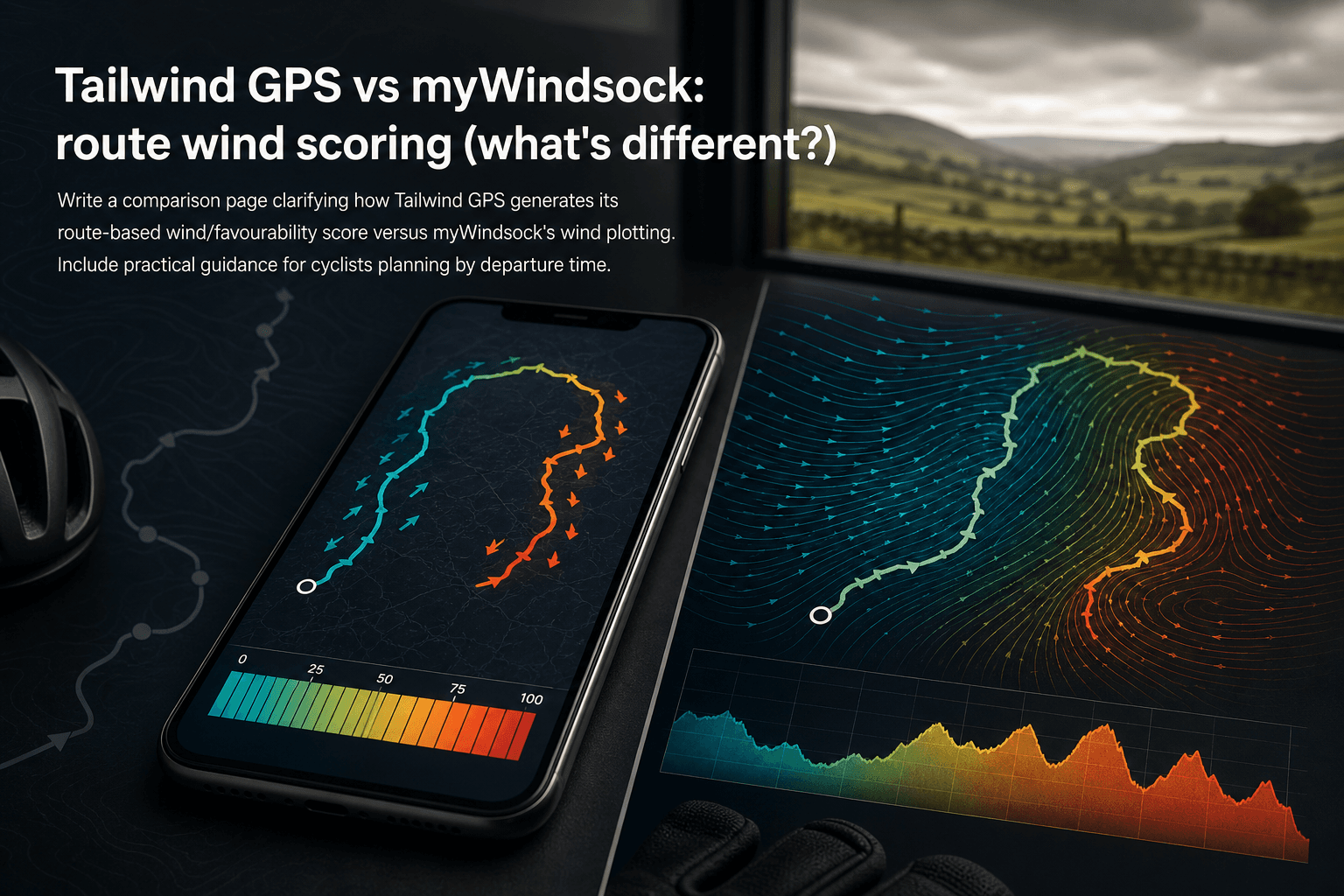
You checked the weather app. It said 20 km/h from the south-west. Fine. You set off at 9am, turned onto the exposed section, and spent the next hour grinding into a direct headwind you never saw coming.
Generic forecasts fail cyclists because they report conditions at a single point in space at a single moment in time. Cyclists move through 40, 60, sometimes 100 kilometres of changing terrain, and whether the wind works with you or against you depends entirely on the direction your route is heading at each segment along the way. Understanding why wind direction relative to your route matters more than raw wind speed is the first step to better ride planning.
Two tools have built route-specific wind scoring to fix this problem: Tailwind GPS and myWindsock. Both are active, maintained products. Both accept your actual routes as inputs. But they solve meaningfully different problems, and choosing the wrong one for how you ride will leave you either overwhelmed with physics outputs you don't need, or under-served with a single number when you wanted deeper aerodynamic analysis.
This comparison sets out exactly what each scoring system is built to do, what the numbers actually mean, and which tool suits which type of cyclist.
Tailwind GPS: what its route wind score is actually for
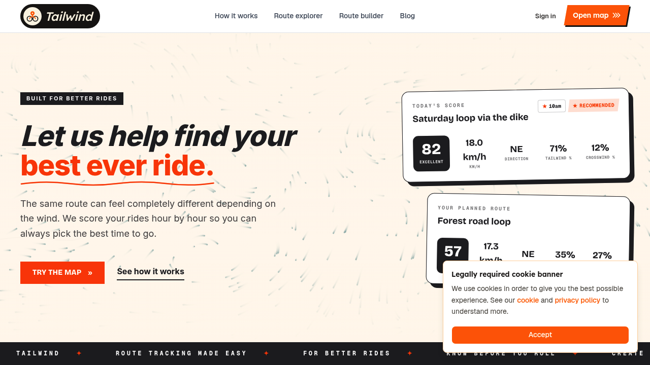
Tailwind GPS is a live, actively developed product available at tailwindgps.com. It is not discontinued.
The central output is the Tailwind Score (0–100), calculated for every departure hour across every route you've saved. That hourly granularity is the whole point: it lets you compare leaving at 8am against leaving at 10am and see exactly how conditions shift across your riding window.
The score bands are straightforward:
| Score | What it means |
|---|---|
| 80–100 | Excellent: favourable winds for most of the ride |
| 55–79 | Great riding conditions |
| 40–54 | Neutral |
| 20–39 | Challenging |
| 0–19 | Prepare for a tough ride |
Route-specific means exactly that. Tailwind GPS divides your route into individual segments, then samples hourly weather forecasts (wind direction, wind speed, temperature, rain probability) along each segment. Because it accounts for your average riding speed, it estimates where you'll physically be on the route at each point in time, so the score reflects the wind you'll actually encounter rather than a static snapshot at your front door.
Subscribers get a 14-day forecast for cycling routes. Free users see three days ahead. The practical question Tailwind GPS answers is: "Should I ride this route today, and if so, when?"
Beyond route scoring, an interactive route planner map shows animated wind particles across the landscape so you can visually explore conditions before committing. There's also a headwind training mode that deliberately surfaces rides with sustained headwinds for riders targeting strength work rather than optimal conditions, the wind-aware approach to harder and easier days is a distinct use case within the same tool.
myWindsock: what its route wind score is actually for
myWindsock takes a physics-first approach. Its headline figure is the myWindsock Score, which the product's own help pages define as "Air Penalty in relationship to the overall ground distance." A score of 100, as their FAQ states, means an air distance twice the actual ground distance, indicating extreme air resistance conditions.
The scale anchors work like this: 0 represents no air penalty (no wind effect), 50 represents even conditions (such as a balanced loop or out-and-back), and 100 represents extreme resistance. Higher scores mean more aerodynamic drag work for the rider, not a better ride.
Beyond the headline number, myWindsock presents several supporting metrics, as documented on their Metrics Explained help page:
- Air Penalty and Air Distance: the core drag-based output
- Weather Impact (wImpact): expresses wind's effect as watts or time added/saved
- Feels Like Elevation™: translates wind resistance into equivalent climbing effort
- Aerodynamics (CdA): drag coefficient input that affects how the physics simulation personalises results
- Air Speed: the rider's speed relative to the air rather than the ground
According to myWindsock's own documentation (published 28 April 2025), myWindsock uses forecasts to simulate a ride, with the simulation based on predicted conditions that change across both time and distance. Wind modelling operates at 1 metre height with wind shear adjustments, aiming to represent what a cyclist actually experiences rather than open-air meteorological readings.
The question myWindsock answers is: "How much harder is this ride going to be because of the wind, expressed as physics?"
The scores look similar but mean completely different things
Both tools produce a number. Both scales loosely sit in a 0–100 range. They are not interchangeable.
| Tailwind GPS Tailwind Score | myWindsock Score | |
|---|---|---|
| What it measures | Wind favourability for departure-time decisions | Air Penalty relative to ground distance |
| High score means | Excellent conditions (80–100 = great) | More aerodynamic resistance (100 = extreme drag) |
| Low score means | Tough ride ahead | Low air penalty (near-zero = minimal wind effect) |
| Primary use | Pick the best departure time | Quantify the energy/time cost of wind |
| Personalised by | Rider speed, route segments, hourly position | CdA, air speed, physics model |
A Tailwind Score of 80 signals a genuinely great time to ride. A myWindsock Score of 80 signals a very high air penalty, meaning the wind is working hard against you. Same number, opposite implication.
This is the most important distinction to understand before acting on either score. Both systems require you to know what high and low mean in their specific context.
How the underlying models differ
The inputs each tool optimises for reflect their different philosophies.
Tailwind GPS builds the score from route segments, hourly forecasts, and your expected position on the route at each time interval. Temperature, rain probability, and wind are all factored in together. The personalisation is primarily about timing: your speed determines where you'll be on the route when a weather window passes through, which changes the score meaningfully. How Tailwind GPS scores cycling routes by wind forecast explains this in more detail.
myWindsock focuses on the energy cost of wind using aerodynamic physics. The platform models wind at rider height (1 metre) with wind shear adjustments, then simulates the ride to calculate how much additional air resistance the forecasted conditions create. Its CdA input (drag coefficient) directly affects how personalised the physics simulation becomes: a time-trialist riding in an aggressive tuck position will see a different air penalty calculation than a rider in an upright sportive position. The accuracy of these physics outputs depends heavily on entering correct CdA values.
| Dimension | Tailwind GPS | myWindsock |
|---|---|---|
| Input style | Route + hourly forecast + rider speed | Route + forecast + CdA/physics parameters |
| Output style | Departure-time score (0–100 favourability) | Air penalty score + performance metrics |
| Optimises for | When to leave for the best ride experience | How much harder/easier the wind makes the ride |
| Planning horizon | 3 days (free) / 14 days (subscriber) | Simulation of forecasted conditions |
| Onboarding | Strava sync, GPX import, route drawing | Route upload/import, CdA setting required for best results |
What you can actually do with each score
For most recreational cyclists, the Tailwind Score flows naturally into a decision. You open the app, see that your usual Thursday evening loop scores 71 at 6pm but only 38 at 4pm, and you adjust your finish time at work accordingly. You can compare departure times for a group ride and arrive at a start time the whole group benefits from. You can swap between two saved routes on a given morning and immediately see which one scores higher. Free users can do this across a three-day window; subscribers can look two weeks ahead to plan a weekend sportive or block a training day around a forecasted weather window.
For performance-focused cyclists, myWindsock's metrics provide a richer analytical layer. If you're targeting a specific segment, want to understand your power budget for a race-day route, or you're comparing the same route ridden in different directions, metrics like wImpact and Feels Like Elevation™ give you numbers to plan pacing around. The physics depth is genuine. It's designed for riders who want to account for aerodynamic conditions in their preparation, not just find the least windy morning.
Best for recreational planners: Tailwind GPS. The Tailwind Score requires no physics knowledge, no CdA input, and no aerodynamics background. You don't need to know what drag is to act on a score of 72.
Best for performance analysis: myWindsock. If you're a time-trialist, KOM-chaser, or racer who wants to understand how wind will affect your split times and power requirements, the Air Penalty framework and supporting metrics are worth learning.
Where each tool shines: a use-case comparison
| Scenario | Better tool | Why |
|---|---|---|
| Planning a weekend club ride, need a quick departure decision | Tailwind GPS | One score per hour per route; no setup required |
| Race-day pacing plan, accounting for aerodynamic drag | myWindsock | wImpact and CdA-based physics are built for this |
| Gravel exploration, picking between two GPX routes this weekend | Tailwind GPS | Import both GPX files, compare scores, choose in seconds |
| Understanding how a specific headwind adds to your climbing effort | myWindsock | Feels Like Elevation™ converts wind resistance to equivalent metres climbed |
| Scheduling training around wind: easy day vs hard day | Tailwind GPS | Headwind training mode surfaces tough rides when you want them |
| Evaluating segment wind conditions for a KOM attempt | myWindsock | Segment-level wind analysis is a core feature |
| UK riding with variable weather: managing 14-day visibility | Tailwind GPS | 14-day subscriber window handles British weather unpredictability |
UK conditions are worth calling out specifically. British weather is characterised by rapid change and high variability, which makes the 14-day planning window particularly valuable for anyone trying to identify a good weekend window, book around a club ride, or plan a holiday sportive. Both tools depend on forecast accuracy, and that accuracy degrades at longer horizons, but having visibility across two weeks is meaningfully different from three days when you're trying to plan around work and family commitments.
Getting started: onboarding comparison
Tailwind GPS connects to Strava in a few taps, pulling your existing routes automatically. No rebuilding your familiar loops. You can also import GPX files or draw new routes directly on the browser-based map. The mobile-first interface works in any browser without an app download, and routes can be added to your home screen for quick access. Free accounts support up to three saved routes; subscribers can save up to 40.
For settings that affect score quality: set your average riding speed accurately. Because Tailwind GPS weights the forecast by your expected position on the route over time, a mismatch between your entered speed and your actual pace changes the score noticeably on longer routes where conditions vary by hour.
myWindsock similarly supports route upload and import. The web platform can be added to a home screen on iOS and Android. For settings that affect accuracy: your CdA value needs to be close to reality for the physics outputs to be meaningful. myWindsock's help pages provide guidance on estimating CdA by position type (road bike, TT position, etc.), but it's a step that requires more input than simply connecting a fitness account.
The friction difference is real. Tailwind GPS is built to get you to a usable score in under two minutes from first login. myWindsock rewards time spent configuring the right physics parameters.
Accuracy and forecast limitations
Both tools are decision aids, not certainties. Both depend on weather model forecasts, which carry inherent uncertainty that grows with the forecast horizon.
myWindsock's documentation explicitly acknowledges that the simulation is based on predicted conditions that change across time and distance, and that model disagreement means errors can propagate. Their own guidance recommends refreshing forecasts closer to your departure time and verifying settings, particularly for time-sensitive performance planning.
Tailwind GPS scores are also forecast-dependent. A score calculated 10 days out will be less reliable than one calculated the night before. The practical advice is the same for both: treat the score as a planning tool for medium-range windows, and re-check within 24–48 hours of your planned ride.
Neither tool should be used as the sole input for decisions where safety is involved (exposed mountain routes, severe weather potential). Both are excellent at surfacing better and worse windows within a planning horizon, which is exactly the job they're built for.
Which one should you choose?
The decision mostly comes down to what question you're trying to answer.
If your question is: "Which of my usual routes will feel best on Saturday morning, and what time should I leave?" then Tailwind GPS is the right tool. The Tailwind Score 0–100 system answers that question directly, without requiring any background in aerodynamics or meteorology. It's fast, mobile-friendly, and builds a 14-day planning view around the routes you already ride.
If your question is: "How much additional power will I need to budget for this race-day route, and how does the forecasted wind translate into added climbing effort?" then myWindsock's Air Penalty framework and supporting physics metrics are what you actually need.
Using both is also a reasonable approach. Use Tailwind GPS for day-to-day departure planning across your regular route library. Use myWindsock when you have a specific performance event or segment where aerodynamic detail genuinely changes your preparation.
For most cyclists (recreational riders, club cyclists, weekend gravel explorers, commuters with limited time windows) Tailwind GPS will answer the right question faster and more clearly. For athletes where power budgeting and aerodynamic penalty modelling are part of the regular training process, myWindsock's physics layer earns its complexity.
Score your routes by departure hour
Import Strava or GPX, check the Tailwind Score for each hour, and pick the window that actually works with the wind.
Frequently asked questions
Which is better for tailwind timing?
Tailwind GPS is built specifically for this. The Tailwind Score is calculated for every departure hour, so you can scroll through the day and immediately see when conditions shift from challenging to excellent. myWindsock's Air Penalty score tells you how hard a specific departure will be, but it requires you to compare scores across different start times manually rather than showing hourly favourability in a single view.
Is the forecast accurate for my departure time?
Both tools use weather model forecasts, so accuracy depends on how far ahead you're looking. Within 24–48 hours, both tools are working from high-resolution forecast data and are generally reliable for decision-making. At 7–14 days, treat the score as directional guidance rather than a precise prediction. The advice for both: refresh the score the evening before your ride and make any final decisions then.
Does Tailwind GPS work for UK routes?
Yes. Tailwind GPS supports any route anywhere and is actively used by UK cyclists. The 14-day planning window is particularly useful given how unpredictable British weather is: being able to spot a good Saturday two weeks out, or identify the one quiet window in a week of fronts, is a genuine advantage for cyclists working around limited time.
Do I need to enter technical settings to use Tailwind GPS?
No. Connect your Strava account (or upload a GPX file), set your average riding speed, and the scoring works immediately. There's no CdA input, no aerodynamics background required. The system is designed for cyclists, not meteorologists or sports scientists.
Related posts

Strava route planner vs wind-aware planning
Strava is genuinely excellent at route planning. The heatmap alone has probably sent millions of cyclists down roads they'd never have found otherwise. But if you've ever glanced at the forecast before a Saturday club run, set off into a gentle-looking 15 km/h wind, and spent the final 30 km g...
·8 min read

Tailwind GPS vs Epic Ride Weather vs myWindsock
Three apps. All promising to tell you how wind will affect your ride. But they solve very different problems, and choosing the wrong one wastes time, money, and possibly a Saturday morning into a 30 mph headwind.
·9 min read
Best cycling app with weather alerts: 6 options compared (2026)
Compare the top cycling apps with weather alerts. See which delivers route-specific wind forecasts, rain notifications, and departure-time scoring for smarter rides.
·9 min read