
UK Cycle Route Planner
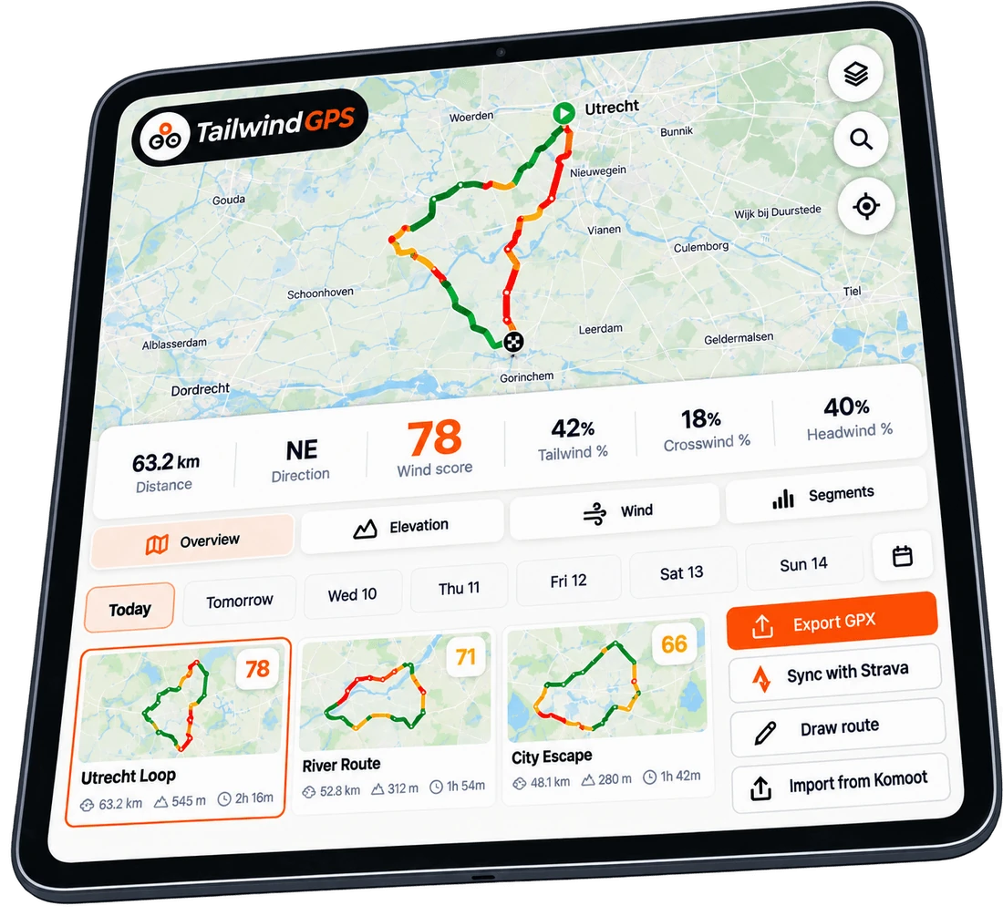
Plan a cycle route anywhere in the UK, check the wind and rain along the route, and find the best time to ride it.

UK cycle routes
Cycling-friendly roads
Weather along the route
Best time to ride
01
Plan a cycle route anywhere in the UK
This is a UK cycle route planner, not a relabelled global page. Plot a ride from a city start, a village café, or a National Cycle Network trailhead. The same map covers London, Manchester, Cambridge, Yorkshire, the Peak District, the Lake District, Cornwall and the Scottish Highlands.
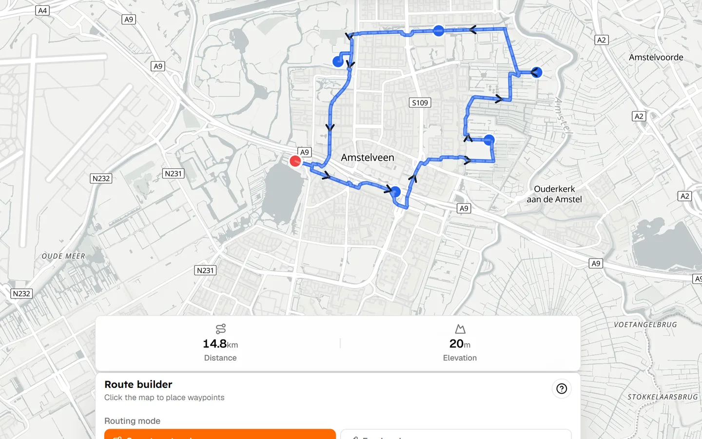
Drop a start, add waypoints, and follow quieter roads where the routing data allows. Then — the part most UK planners skip — check how the wind and rain will sit on that line at the hour you actually leave.
02
Choose quieter, more cycling-friendly roads
UK riders searching for a cycle route planner often arrive with CycleStreets in mind: quieter roads, traffic, cycle paths, and road classification. Tailwind routes on cycling-friendly roads, but you should still treat the line as a draft.
Always review the route before riding
Mapping data can change, and no route planner can guarantee that every road or path is suitable. Check the map, local conditions and your own comfort with traffic before you roll out.
03
Check UK weather before you ride
UK cycling is exceptionally sensitive to wind, especially on exposed roads and long west–east routes. A dry Saturday in Yorkshire can still be a grind if a westerly is on the nose for 40 km. A London to Brighton start that looks fine on a phone forecast can be a different ride once you are on the Weald.
Tailwind builds a Tailwind Score from wind, rain and temperature along the UK cycling route, at your pace — not only at the postcode you left from.
04
See which time of day gives you the best ride
Sportives and longer UK rides live and die on the start time. Here is the kind of hourly picture Tailwind is built to show for a London to Brighton day.
05
Plan National Cycle Network rides
Sustrans provides the UK-wide National Cycle Network and the discovery tools around it. Tailwind is not Sustrans, and it does not replace that library.
Planning a National Cycle Network ride? Import or create your route, then use Tailwind to check the conditions for the day and departure time. Use Sustrans to find the corridor. Use Tailwind to decide when that corridor will actually be nicest to ride.
06
UK cycling route planner vs CycleStreets, Komoot and Strava
CycleStreets, Komoot, Strava and Google Maps all appear on this search. They are strong at routing or discovery. Tailwind's job is different: weather along the route and a best departure time. Feature claims here reflect Tailwind's current product; competitors change, so treat the comparison as a snapshot.
| Tool | Route planning | Discovery | Weather along route | Best departure time |
|---|---|---|---|---|
| Tailwind GPS | ✓ | ○ | ✓ | ✓ |
| CycleStreets | ✓ | ✓ | — | — |
| Komoot | ✓ | ✓ | Some | — |
| Strava | ✓ | ✓ | Limited | — |

Free forever on 3 routes
Stop guessing. Ride with the wind.
- Every route scored for wind, rain and temperature
- The best hour to ride, up to 3 days out
- Strava routes in with one tap
Free forever on 3 routes. No card.
Keep planning with Tailwind GPS
Cycling route planner
The main product page if you are not searching with a UK angle.
Weather along my route
Why UK wind makes a start-point forecast misleading.
UK cycling routes
Browse routes by place, then score them for the weekend.
GPX route planner guide
How GPX import and export fits a UK planning workflow.
Frequently asked questions
What is the best cycle route planner UK?
It depends what you need. CycleStreets is strong on quieter UK roads. Komoot and Strava are strong on discovery. Tailwind GPS is the UK cycle route planner to use when you already have a ride in mind and want wind, rain and the best time to start.
Can I plan National Cycle Network routes?
Yes — import or draw the NCN route, then score it in Tailwind. Sustrans remains the place to discover the Network itself. Tailwind does not replace Sustrans.
Does this work for hills and windy UK roads?
Elevation is shown as you plan. Wind along the route is scored hour by hour, which matters on exposed west–east rides and open moorland. Always review the line for traffic and surface before you ride.
Can I export a UK cycle route to Garmin or Wahoo?
Yes. Download GPX and send it to Garmin Connect or the Wahoo app. Shared links also include a GPX download.
Is this a free cycle route planner?
You can start on the map for free. A free account saves three routes with a three-day forecast. That is enough to weather-check this week's UK rides.
Plan the UK route. Then check the wind.
A cycle route planner UK riders can use for the line and the hour — including GPX for Garmin and Wahoo.