
Best Road Bike Routes in Seattle
Five road bike loops near Seattle with distances, climbing and free GPX downloads from the Tailwind GPS library.
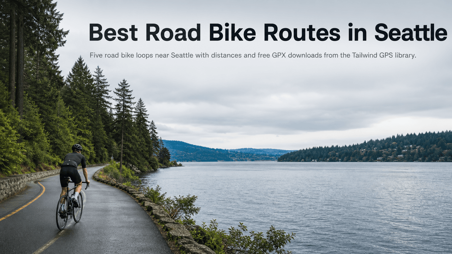
Road cycling around Seattle means riding beside water. Lake Washington, Lake Sammamish and the Sammamish River shape the routes, and open water is where wind direction decides whether a loop feels easy. The same 60 km can be a pleasure at 9am and a slog at noon.
Tailwind GPS has five Seattle road loops, each with a free GPX download. Distances and climbing below are the library figures. The wind split on the hub changes with the hour, so use that live view rather than a number printed in a guide.
The five Seattle loops
The Seattle route hub ranks these using wind, rain and temperature at a 25 km/h pace. Departure times are local to Seattle.
| Route | Distance | Elevation |
|---|---|---|
| Lake Sammamish shore loop | 37.4 km | 178 m |
| Lake Washington shore loop | 51.5 km | 319 m |
| Burke-Gilman Trail loop | 61.9 km | 514 m |
| Bridge Over Sammamish River – Burke Gilman Trail loop | 68.3 km | 329 m |
| Washington and Sammamish lakes loop | 71.4 km | 631 m |
Lake Sammamish shore loop (37.4 km, 178 m)
The short one, and a good choice when you only have a morning. A short loop can still feel lumpy when the wind is up along the shore.
Lake Washington shore loop (51.5 km, 319 m)
A mid-distance ride along the western lake. Check the departure hour: a shoreline crosswind is the thing that changes the feel of this loop.
Burke-Gilman Trail loop (61.9 km, 514 m)
More climbing than the longer Sammamish River option below. The extra elevation is why it can feel harder despite being shorter.
Bridge Over Sammamish River – Burke Gilman Trail loop (68.3 km, 329 m)
A long ride with gentler climbing than the other Burke-Gilman loop. A steady endurance day if you want distance without the 500 m of ascent.
Washington and Sammamish lakes loop (71.4 km, 631 m)
The longest and hilliest, and the one that joins both lakes. If you're looking for Snoqualmie or Mercer Island, this library covers these five loops rather than those areas.
How to download the GPX
GPX downloads are free. Open the Seattle hub, pick a loop and download the file. Preview the line on the map first. Saving a route to your account is the step that asks you to log in. Downloading does not.
- Garmin: import the GPX in Garmin Connect under Courses, then sync your Edge. You can also copy the file over USB into the device's NewFiles folder.
- Wahoo: add the GPX in the ELEMNT app under Routes, sync, then select it on the head unit.
- Phone: upload the GPX in Tailwind GPS and start turn-by-turn in the browser. Using a GPX file covers the flow.
Menu names change between app updates, so treat those as the path rather than exact button labels. If the file doesn't appear, check it ends in .gpx and that it landed in Downloads.
Why the hour matters on the lakes
These loops spend a lot of time beside open water, where the wind is often a crosswind rather than a clean headwind. A crosswind still pushes the bike and gets worse where nothing breaks the air. A small change in direction later in the day can turn a crosswind section into a headwind one.
Distance and climbing stay fixed. The hour is the variable you control. The Tailwind Score, from 0 to 100, is calculated for every departure hour from the wind along the route, not a single point forecast. A score of 80 or above means mostly favourable wind. Under 40, expect a harder ride. The free plan looks three days ahead.
Download the Seattle GPX files
Five free loops with maps, climbing and a wind score for each hour.
If you want a wider look at choosing rides, best cycling routes near me walks through scoring the hour before you roll out.

Free forever on 3 routes
Enjoyed that? Put it to work on your next ride.
- Every route scored for wind, rain and temperature
- The best hour to ride, up to 3 days out
- Strava routes in with one tap
Free forever on 3 routes. No card.
Related guides
Best Road Cycling Routes in Copenhagen
Five Copenhagen road loops, from the flat Bryggebroen bridges to Strandvejen, plus how to turn one into an out-and-back and download the GPX.
·3 min read
Best Road Cycling Routes in Milan
Five road cycling routes from Milan with distance, elevation and free GPX, from the Navigli plain to Alpe di Neggia.
·3 min read

Best cycling routes near me: how to find, score and navigate
Nearby is not the same as best. Find cycling routes near you, score the hour, then start in-browser turn-by-turn in Tailwind GPS — or export GPX to a head unit.
·8 min read