When to ride the C2C
Whitehaven to Tynemouth is about 145 miles. West to east is the usual way, and four days is a balanced pace.
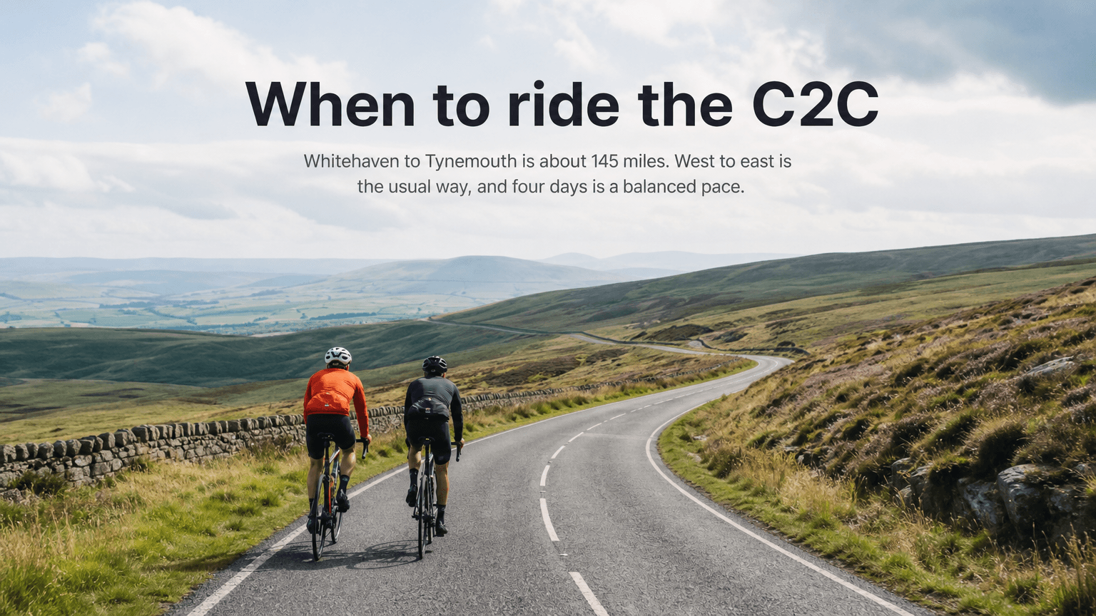
The C2C from Whitehaven to Tynemouth is about 145 miles (233 km), from the Irish Sea to the North Sea. This is a first multi-day ride if you give it four days and ride it west to east.
Ride west to east
That is the usual direction, and a west wind is the one you want behind you. The route crosses the Lake District and the Pennines. The high sections have little shelter.
Split it into four days
Four days is a balanced pace. The big climbs sit in the middle of the crossing, so do not spend the first day as if the hills were already done.
Choose a bike for the surfaces
Road, gravel or hybrid all work. Wider tyres help on the railway paths, especially the Waskerley Way.
Know the three climbs
- Whinlatter, early, through the forest toward Keswick.
- Hartside, at about 580 metres.
- Black Hill, at about 609 metres, the high point of the standard route.
Hartside and Black Hill are exposed. Wind changes how hard they feel more than almost anything else on the ride. A strong headwind on either one is the day to move.
The Waskerley Way is the turning point
After Stanhope, the Waskerley Way is a traffic-free railway path. The riding gets smoother, and the trip starts to feel like a finish. Arrive there with something left.
Before you leave, download the GPX and check you are still set west to east. If the forecast is a hard easterly, move the dates. Do not flip the route to chase a tailwind.
C2C GPX
Download the Whitehaven to Tynemouth file and read the climbs before you split the days.

Free forever on 3 routes
Enjoyed that? Put it to work on your next ride.
- Every route scored for wind, rain and temperature
- The best hour to ride, up to 3 days out
- Strava routes in with one tap
Free forever on 3 routes. No card.
Related posts
When to ride the Way of the Roses
Morecambe to Bridlington is about 170 miles. The hard climbing is in the west, and three or four days is the usual split.
·1 min read
When to ride London to Brighton
Clapham Common to Brighton seafront is about 54 miles. One day, and you should still have something left for Ditchling Beacon.
·1 min read
When to ride National Cycle Route 2
NCN 2 runs from Dover toward mid Cornwall, about 380 miles. Most people ride a weekend of it. Wind is the story, not the hills.
·1 min read