Wind-scored cycling route planners: 6 Komoot alternatives compared (2026)
If you've ever opened Komoot before a ride, glanced at the weather overlay, and still had no idea whether to set off at 8am or 10am, you're not alone. Komoot handles navigation well. Wind scoring for departure decisions? That's a different job entirely — and where Tailwind GPS leads.

If you've ever opened Komoot before a ride, glanced at the weather overlay, and still had no idea whether to set off at 8am or 10am, you're not alone. Komoot handles navigation well. Wind scoring for departure decisions? That's a different job entirely — and where Tailwind GPS leads.
This comparison looks at the full field: Komoot Premium, Ride with GPS, Epic Ride Weather, myWindsock, the Headwind app, myweathr.io, and Tailwind GPS. For each one we'll assess whether it actually converts wind data into a route-time score, or whether it hands you a map and leaves the interpretation to you.
Quick answer: what does "wind-scored routing" actually mean?
Before diving into the tools, it's worth being precise about the problem. A wind forecast app and a wind-scored route planner are not the same thing.
A proper wind-scored route planner should:
- Calculate wind direction relative to your heading at each point on the route (tailwind, headwind, crosswind, not just "10 mph from the south")
- Update that calculation hour-by-hour, so scores change as forecast windows shift
- Personalise the output to your pace, because a faster rider reaches exposed sections sooner
- Summarise everything into something you can act on immediately, like a single 0–100 score
Most tools cover one or two of those criteria. Very few cover all four. That gap is exactly what this comparison is designed to surface.
What Komoot does (and where it falls short for wind scoring)
Komoot Premium includes a "built-in wind indicator" and "dynamic weather forecasts" along your route, according to the Komoot newsroom. The feature is designed to help you find the "most optimal direction" for an outing. For a lot of recreational riders, that's genuinely useful, you can see rain and wind overlaid on your planned route inside the same app you use to navigate.
The gap becomes obvious when you want to answer a specific question: should I leave at 7am, 9am, or 11am? Komoot's overlay shows you conditions, but it doesn't collapse them into a departure-time score. You're still the one reading the arrows and making the call.
Komoot is also, at its core, a navigation app. The weather features are secondary, which means the wind data you see is a layer on top of a planning and turn-by-turn experience rather than the primary output.
Good for: cyclists who want integrated navigation and turn-by-turn directions, with weather as a useful reference layer. Not the right tool if a route-time wind score is what you're actually after.
What to look for in a wind-aware cycling route planner
Here's a quick checklist before you commit to any tool:
- Route-specific wind, not point forecasts. Does the app analyse wind direction relative to each segment of your actual route, or does it just show you the general forecast at your start location?
- Hour-by-hour departure scoring. Can you compare scores at 7am, 9am, 11am for the same route?
- Pace personalisation. A faster rider and a slower rider experience very different wind conditions on the same loop. Does the tool account for that?
- A simple, actionable output. A 0–100 score or a clear difficulty rating beats a wind-direction map you have to decode.
- Full weather picture. Wind is the main variable, but rain timing and temperature matter too. Look for tools that combine all three.
- Practical workflow. Can you import existing Strava routes or GPX files, or do you have to rebuild everything from scratch?
Keep that checklist in mind as you read through the options below.
The top wind-aware alternatives to Komoot
Ride with GPS
Ride with GPS has a dedicated wind layer during route planning. According to the Ride with GPS Help Centre, the wind layer uses NOAA-derived data updated twice daily to show real-time wind data along your route. It integrates with partners like Epic Ride Weather for deeper weather overlays.
The wind layer is a good reference tool, but like Komoot it stops short of producing a single departure-time score. To get something more decision-ready, you'd typically use it alongside a specialist integration. That adds steps.
Best for: route planning and navigation with a useful wind reference layer, particularly if you're already in the Ride with GPS ecosystem.
Epic Ride Weather
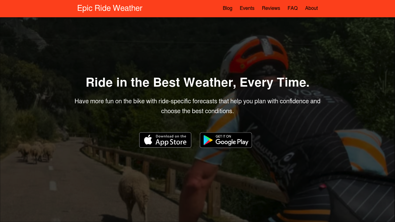
Epic Ride Weather focuses on detailed ride-day forecasting. Its homepage describes minute-by-minute wind, rain, and temperature forecasts along your route, with direction choice to "maximize the tailwind, and avoid a headwind." Useful for studying one ride in depth — but it doesn't score your whole route library or recommend a departure hour the way Tailwind GPS does.
The detailed output is also its complexity cost. Epic Ride Weather gives you a lot to look at, which is ideal if you want to study a long sportive in depth. For quick daily decisions on familiar loops, that level of detail can be more than you need.
Best for: riders planning longer or unfamiliar events who want to dig into the detail and choose an optimal direction.
myWindsock
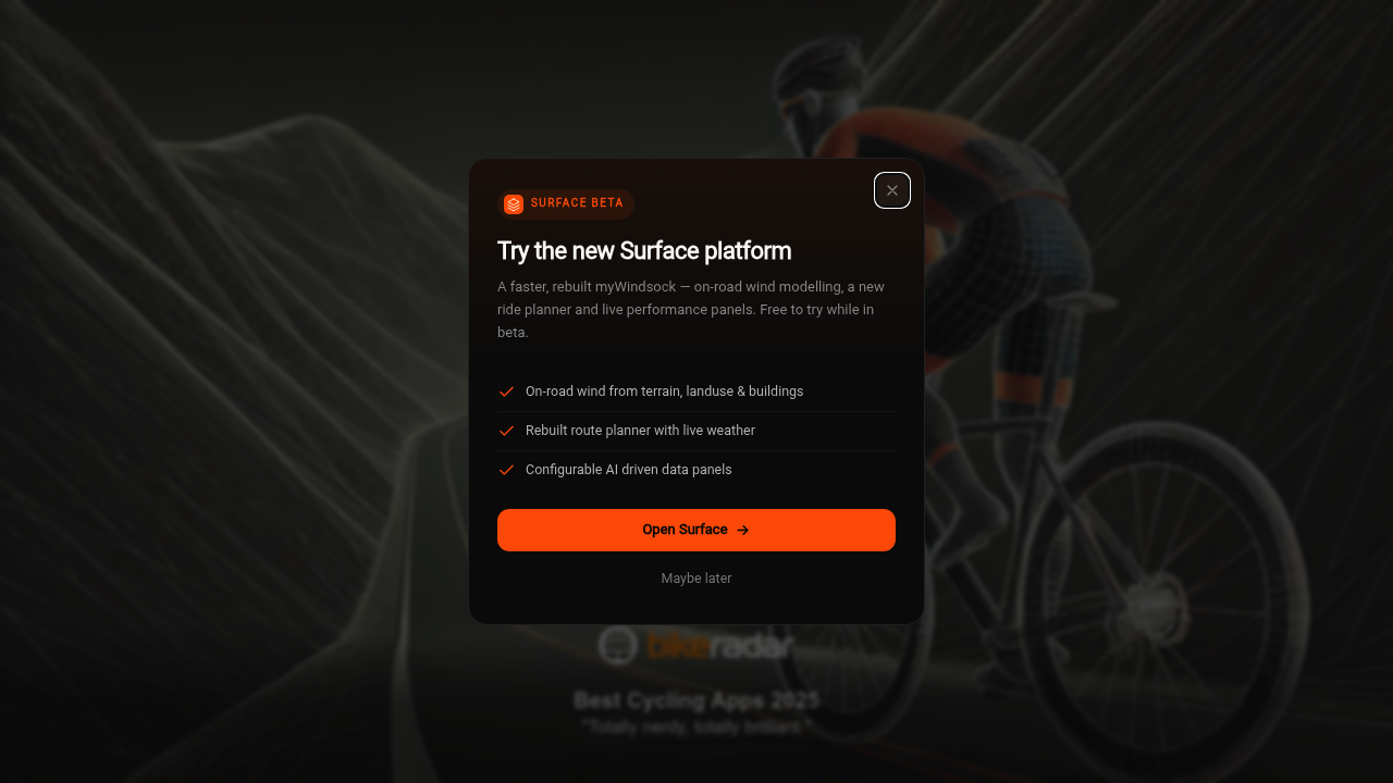
myWindsock focuses on on-road wind modelled from terrain, land use, and buildings, plus a rebuilt route planner with live weather. Its strength is segment-level wind analysis, making it useful if you want to understand how specific roads and turns interact with prevailing conditions.
It's more of a wind visualisation and analysis tool than a departure-time scoring tool. You'll learn a lot about wind behaviour on your route, but you'll still be drawing your own conclusions about when to go.
Best for: cyclists who want to understand how wind affects specific segments, or those preparing for races where course knowledge matters. See the wind-aware cycling apps compared guide for a fuller breakdown of how myWindsock stacks up.
Headwind app
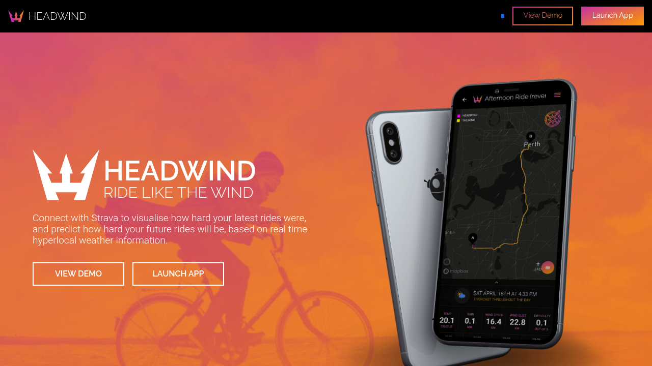
Headwind connects directly to Strava and uses wind data to score your rides by difficulty. Its description: "Connect with Strava to visualise how hard your latest rides were, and predict how hard your future rides will be." That difficulty-scoring approach is close to what a lot of cyclists actually want.
The focus is primarily on commutes and familiar routes, and the difficulty framing is more about effort prediction than finding your best departure window. Useful for Strava users who want wind-aware difficulty context — but without the hourly scoring or 14-day planning window Tailwind GPS offers.
Best for: commuters and regular Strava users who want a wind-difficulty score on their standard route.
myweathr.io
myweathr.io takes a similar scoring approach to Tailwind GPS, describing a "Tailwind Score" concept for cyclists that summarises wind assistance on a given route from 0 to 100. The existence of this category in the market confirms that cyclists genuinely want a single-number answer, not a forecast map.
Best for: cyclists looking for a score-first approach and wanting to compare options in this category.
Windy and Windfinder
Both Windy and Windfinder are powerful wind visualisation tools with excellent model selection and global coverage. They're often cited as Windfinder alternatives or Windy.com alternatives for outdoor enthusiasts. For kitesurfers, sailors, or anyone who needs a granular wind map, they're hard to beat.
For cycling route scoring, though, they're the wrong category of tool. Neither calculates headwind or tailwind relative to your specific route heading, and neither produces a departure-time score. You'd need to layer your own route knowledge on top of the forecast mentally, which is exactly the work you're trying to avoid.
Best for: wind-sport enthusiasts or weather nerds who want raw model data. Not built for cycling route decisions.
Side-by-side comparison
| Tool | Route-time scoring | Pace personalisation | Simplicity | Forecast window | Best fit |
|---|---|---|---|---|---|
| Komoot Premium | No (overlay only) | No | High (navigation first) | Short-range | Navigation + weather reference |
| Ride with GPS | No (wind layer) | No | Medium | Short-range | Route planning + navigation |
| Epic Ride Weather | Partial (direction choice) | Limited | Low (detail-heavy) | Short-range | Sportive/event planning |
| myWindsock | No (segment analysis) | No | Medium | Short-range | Segment wind study |
| Headwind app | Yes (difficulty score) | Limited | High | Short-range | Commuter route difficulty |
| myweathr.io | Yes (0–100 score) | Unknown | Medium | Short-range | Score-first cyclists |
| Tailwind GPS | Yes (0–100 per hour) | Yes (pace-based) | High | Up to 14 days | Departure-time decisions |
The table makes the trade-offs clear. Komoot and Ride with GPS cover navigation; myWindsock goes deep on segment-level analysis. But if your actual question is "which hour should I leave for this route today?", you need route-time scoring — and Tailwind GPS is built specifically for that.
How Tailwind GPS approaches wind-score routing
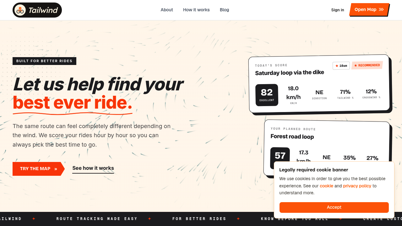
Tailwind GPS is built specifically for the departure-time decision. It analyses wind direction and speed along every segment of your route, calculates headwind, tailwind, and crosswind percentages, factors in your pace, and produces a single Tailwind Score (0–100) for each departure hour. The score bands are:
- 80–100: Excellent. Favourable tailwinds for most of the ride.
- 55–79: Great riding conditions.
- 40–54: Neutral.
- 20–39: Challenging.
- 0–19: Prepare for a tough ride.
Forecasts run segment-by-segment, hour-by-hour, up to 14 days ahead on the paid plan, well beyond the short-range windows most of the tools above offer. Temperature and rain probability are included alongside wind data, so you get the full picture in one place.
The free tier covers up to 3 routes with a 3-day forecast. Subscribers unlock up to 40 routes and the 14-day window for $2.99/month or $19.99/year.
Tailwind GPS doesn't replace Strava or your GPS computer. It sits alongside them, answering the question they don't: given the routes I already ride, when should I go?
Using Tailwind GPS on your regular loops
Here's how a typical workflow looks in practice:
- Connect Strava (or upload a GPX file, or draw a route directly on the interactive map). Your existing Strava routes appear automatically, no rebuilding required.
- Set your pace. This personalises every score to where you'll actually be on the route at each point in time.
- Open the route carousel and scroll through departure hours. Scores update per hour, so you can see at a glance whether 8am or 10am is the better call.
- Set alerts. Subscribers can configure email alerts when a favourite route hits a target score, or when rain is forecast during their preferred riding window.
No meteorology required. The app does the reading; you make the ride.
There's also a Headwind Training mode for days when you deliberately want the harder option, useful if you're building fitness and want sustained headwinds to work against. The wind-aware training approach pairs naturally with the scoring system: easy days when the score is high, training days when it's low.
FAQ: wind-aware route planning
Does wind scoring account for my speed and time on route? Yes, on Tailwind GPS. Your pace is factored into each score, so the forecast reflects your actual position on the route at every point, not the position of a hypothetical average rider.
How far ahead can I plan? Free users get a 3-day forecast window. Subscribers see up to 14 days ahead, which is useful for planning weekend rides or lining up sessions around the working week.
Do I need to redraw my routes, or can I import from Strava or GPX? You can sync directly from Strava (routes appear automatically), upload GPX files, or draw new routes on the map. No rebuilding needed.
Is it free? There's a permanent free tier covering up to 3 routes with a 3-day forecast. The paid plan ($2.99/month or $19.99/year) unlocks 40 routes, 14-day forecasts, alerts, and weekly summaries. A 7-day free trial is included.
Is this navigation or pre-ride planning? Pre-ride planning. Tailwind GPS helps you decide when and which route before you leave the house. For turn-by-turn navigation on the ride itself, it works alongside tools like Komoot or a dedicated GPS computer.
The bottom line
Komoot, Ride with GPS, Epic Ride Weather, myWindsock, and Headwind each handle part of the puzzle — navigation, overlays, or detailed analysis. None of them combines route-time scoring, departure-hour guidance, and a 14-day planning window in one place the way Tailwind GPS does.
If the question you're actually trying to answer is "should I ride my usual loop at 8am or 10am, and which day this week looks best?", you need route-time scoring, not a forecast map. That's the specific gap Tailwind GPS fills: one number per route per hour, personalised to your pace, up to 14 days ahead.
The free tier takes about two minutes to set up with your existing Strava routes. Worth seeing what your usual loops look like before your next ride.
Try it now
Open the interactive wind map and find your best ride window — no sign-up required.
Related posts
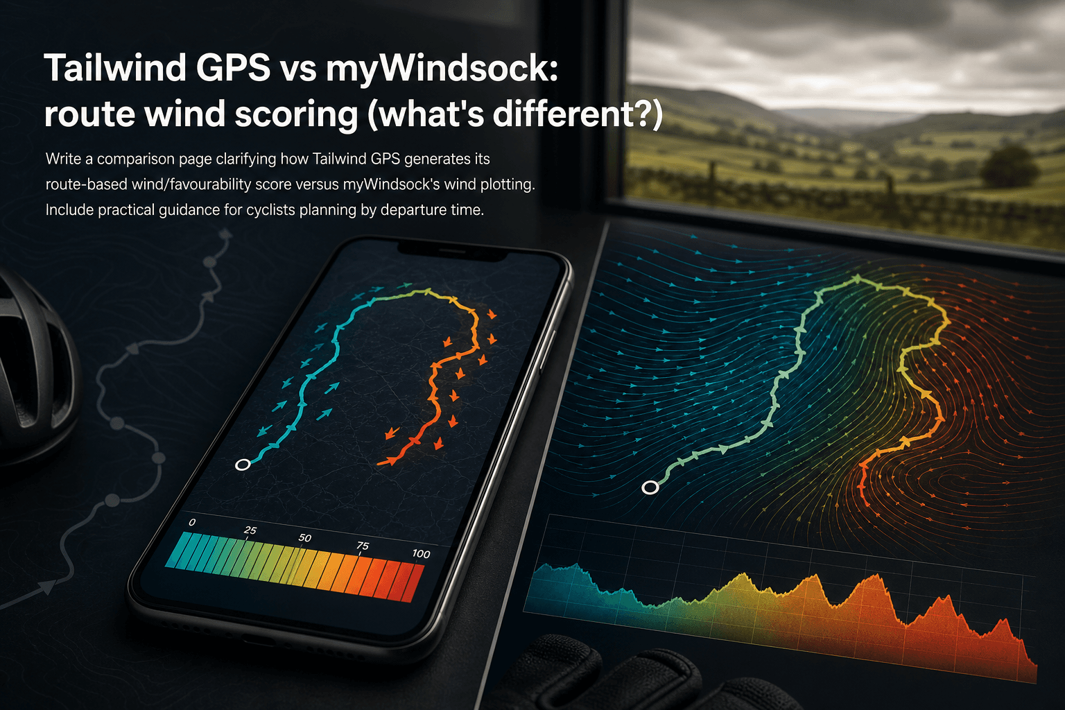
Tailwind GPS vs myWindsock: route wind scoring (what's different?)
How Tailwind GPS's 0–100 route wind score differs from myWindsock's Air Penalty scoring — and which to use for departure timing vs performance analysis.
·10 min read

Strava route planner vs wind-aware planning
Strava is genuinely excellent at route planning. The heatmap alone has probably sent millions of cyclists down roads they'd never have found otherwise. But if you've ever glanced at the forecast before a Saturday club run, set off into a gentle-looking 15 km/h wind, and spent the final 30 km g...
·8 min read

Tailwind GPS vs Epic Ride Weather vs myWindsock
Three apps. All promising to tell you how wind will affect your ride. But they solve very different problems, and choosing the wrong one wastes time, money, and possibly a Saturday morning into a 30 mph headwind.
·9 min read