
Best road bike routes in Amsterdam 2026: 10 free GPX routes
Ten curated road cycling routes from the Tailwind GPS Amsterdam library — distances, elevation, free GPX downloads, and weather-scored departure times.
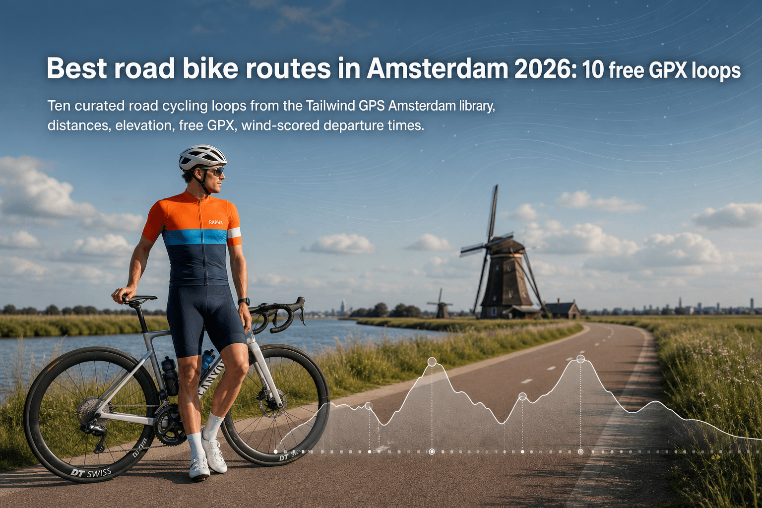
Looking for the best road rides around Amsterdam? Start with the curated routes in the Tailwind GPS Amsterdam route library — free to browse, free to download as GPX, and scored hour by hour for weather so you can pick a departure time that feels good.
Below are the top 10 routes from the library leaderboard (ranked by rating × popularity), with verified distance and elevation from the manifest.
Leaderboard: top road bike routes in Amsterdam
| # | Route | Distance | Elevation | Link |
|---|---|---|---|---|
| 1 | Waterland meadow loop | 43.9 km | 53 m | Open |
| 2 | Westduinpark coast loop | 39 km | 91 m | Open |
| 3 | Rottemeren lake loop | 40.7 km | 62 m | Open |
| 4 | Lekdijk loop | 72.7 km | 92 m | Open |
| 5 | Amstel windmill loop | 53.4 km | 57 m | Open |
| 6 | Vecht riverside loop | 32.8 km | 38 m | Open |
| 7 | Wadden coast loop | 93.6 km | 106 m | Open |
| 8 | Spaarndammerdijk loop | 97.9 km | 211 m | Open |
| 9 | Posbank ridge loop | 100.5 km | 522 m | Open |
| 10 | Bommelerwaard dyke loop | 64.3 km | 66 m | Open |
The routes
1. Waterland meadow loop — 43.9 km / 53 m
Ranked #1 in the Tailwind GPS Amsterdam library leaderboard (popularity score 171.99). Preview the map, filter by distance or elevation, and download the GPX free from the city hub.
2. Westduinpark coast loop — 39 km / 91 m
Ranked #2 in the Tailwind GPS Amsterdam library leaderboard (popularity score 152.3). Preview the map, filter by distance or elevation, and download the GPX free from the city hub.
View Westduinpark coast loop →
3. Rottemeren lake loop — 40.7 km / 62 m
Ranked #3 in the Tailwind GPS Amsterdam library leaderboard (popularity score 137.38). Preview the map, filter by distance or elevation, and download the GPX free from the city hub.
4. Lekdijk loop — 72.7 km / 92 m
Ranked #4 in the Tailwind GPS Amsterdam library leaderboard (popularity score 136.46). Preview the map, filter by distance or elevation, and download the GPX free from the city hub.
5. Amstel windmill loop — 53.4 km / 57 m
Ranked #5 in the Tailwind GPS Amsterdam library leaderboard (popularity score 112.35). Preview the map, filter by distance or elevation, and download the GPX free from the city hub.
6. Vecht riverside loop — 32.8 km / 38 m
Ranked #6 in the Tailwind GPS Amsterdam library leaderboard (popularity score 186.9). Preview the map, filter by distance or elevation, and download the GPX free from the city hub.
7. Wadden coast loop — 93.6 km / 106 m
Ranked #7 in the Tailwind GPS Amsterdam library leaderboard (popularity score 185.45). Preview the map, filter by distance or elevation, and download the GPX free from the city hub.
8. Spaarndammerdijk loop — 97.9 km / 211 m
Ranked #8 in the Tailwind GPS Amsterdam library leaderboard (popularity score 153.74). Preview the map, filter by distance or elevation, and download the GPX free from the city hub.
9. Posbank ridge loop — 100.5 km / 522 m
Ranked #9 in the Tailwind GPS Amsterdam library leaderboard (popularity score 135.86). Preview the map, filter by distance or elevation, and download the GPX free from the city hub.
10. Bommelerwaard dyke loop — 64.3 km / 66 m
Ranked #10 in the Tailwind GPS Amsterdam library leaderboard (popularity score 98.41). Preview the map, filter by distance or elevation, and download the GPX free from the city hub.
View Bommelerwaard dyke loop →
How to choose the right route for the day
- Distance and time window. Match kilometres to the hours you actually have.
- Elevation. Climbing metres matter more than distance alone on punchy loops.
- Near vs day-trip. Some library routes stay close to Amsterdam; others are longer classics worth a train or longer start.
- Wind. A city-centre forecast will not tell you whether the outbound leg is a headwind.
Tailwind GPS gives every saved route a Tailwind Score (0–100) for each departure hour. Scores of 80+ mean favourable tailwinds for most of the ride; below 40 expect a tough one. Free accounts get a 3-day forecast and up to 3 saved routes.
How to get the GPX and score your departure hour
- Open the Amsterdam hub
- Filter by distance or elevation if needed
- Preview a route on the map
- Download the GPX (free)
- Save the route and compare Tailwind Scores on the map
You can also draw your own cycling route, upload a GPX, or connect Strava.
Browse Amsterdam routes
Curated road routes with maps, elevation, free GPX downloads, and weather-scored departure times.
Get the GPX and score your departure hour
All of these routes are free to browse and download at the Tailwind GPS Amsterdam cycling routes hub. Filter, preview, download, then compare departure hours before you roll out.

Free forever on 3 routes
Enjoyed that? Put it to work on your next ride.
- Every route scored for wind, rain and temperature
- The best hour to ride, up to 3 days out
- Strava routes in with one tap
Free forever on 3 routes. No card.
Related guides
Best Road Cycling Routes in Copenhagen
Five Copenhagen road loops, from the flat Bryggebroen bridges to Strandvejen, plus how to turn one into an out-and-back and download the GPX.
·3 min read

Best Road Cycling Routes in Milan
Five road cycling routes from Milan with distance, elevation and free GPX, from the Navigli plain to Alpe di Neggia.
·3 min read
Best Road Bike Routes in Seattle
Five road bike loops near Seattle with distances, climbing and free GPX downloads from the Tailwind GPS library.
·2 min read