Best cycling routes near me: how to find, score and navigate
Nearby is not the same as best. Find cycling routes near you, score the hour, then start in-browser turn-by-turn in Tailwind GPS — or export GPX to a head unit.

Two rides. Same distance, same roads, same legs. One feels effortless; the other grinds you down from the first kilometre. Wind direction is almost always the difference. So when you search for the "best cycling routes near me," you're not really looking for the nearest loop on a heatmap. You're looking for the right route, ridden at the right time, so the experience is actually worth your Saturday.
This guide walks you through a complete workflow: finding cycling routes near you, shortlisting the best candidates, choosing the right departure time based on wind and rain, then navigating confidently whether you're on a phone app or a head unit.
What you'll end up with: a reliable system for finding, scoring, and following new routes, not just a list of GPX files.
Who it's for: road cyclists, gravel riders, and club riders who want to ride smarter and stop wasting sessions on miserable headwinds.
Tools you'll need: a bike route planner (Strava, Komoot, Ride with GPS, or Tailwind GPS), a navigation device or phone, and about 10 minutes of pre-ride planning.
Difficulty: Easy. No meteorology knowledge required.
You don't just need a route "near me", you need the best ride for today
Open any map app and you'll find a dozen cycling routes within 15 kilometres of your front door. That's not the hard part. The hard part is knowing which one will feel good at the time you're actually riding it.
A south-westerly at 20 km/h means almost nothing on its own. If your loop runs south-east for the first 30 km then curves north-west back home, that same wind becomes a gruelling crosswind out and a punishing headwind back. The exact opposite can be true of a different route running the other direction on the same morning.
Generic weather apps forecast a single pin on a map. Cyclists don't stay in one place. Wind scoring needs to follow the route, segment by segment, adjusted for your pace and the time you expect to be at each point on the road.
The workflow below is: Find → Shortlist → Score by time → Navigate.
Step 1: Define your route type before you search
Before opening a map, spend two minutes on these decisions. They filter out 80% of unsuitable results immediately.
Distance and time window. If you've got 2.5 hours after work, a 60 km loop at 25 km/h is realistic. A 90 km loop is not. Be honest.
Surface preference. Road bike, gravel, or mixed? This matters because a route that looks flat on a map may include unsurfaced tracks your tyres can't handle.
Loop vs out-and-back. Loops give you more options if conditions change mid-ride. Out-and-back routes are simpler to navigate and easier to cut short.
Elevation tolerance. If you're doing a recovery spin, a route with 1,200 m of climbing is the wrong choice even if it's technically "nearby."
Group vs solo. If you're organising a club run, you need a route you can share with a single link so everyone starts from the same point at the same time.
Write these down or hold them in mind. They become your filter.
Step 2: Find routes near you and build a shortlist
There are four practical ways to discover cycling routes near you.
Your own saved routes. If you use Strava, your regular loops are already there. Strava's "Create Route" feature, found under Strava Maps, lets you build and share routes with the route builder. Your existing rides are the fastest starting point.
Dedicated route planners. Komoot is strong for gravel, touring, and sport-specific routing, and it supports GPX export from both the app and website. Ride with GPS is excellent for turn-by-turn navigation and has a large route library. cycle.travel is worth a look if quiet, traffic-free routing matters to you.
The Tailwind GPS route library. City-specific route hubs cover locations across the UK and internationally. The London cycling routes hub, for example, lists curated loops ranked by wind and weather score for your chosen departure time. The same format exists for Manchester, Barcelona, Amsterdam, and hundreds of other cities. Each route is free to preview, filter by distance and elevation, and download as a GPX file.
Drawing your own route from scratch, either by snapping to roads or drawing freehand where no road exists. Useful when you know the area well and want a specific start point.
Once you have 2 to 5 candidate routes, don't choose by distance alone. Move to the next step.
Step 3: Score each route by departure time, not just by distance
This is where most cyclists still rely on guesswork. A BBC forecast saying "light winds, 14°C" tells you almost nothing about whether Route A or Route B will feel good at 7 am versus 9 am.
Tailwind GPS solves this by analysing your route segment by segment, hour by hour, using actual wind direction and speed, rain probability, temperature, and your expected riding speed. The result is a single number per route per departure hour: the Tailwind Score (0–100).
The scoring bands work like this:
| Score | What it means |
|---|---|
| 80–100 | Excellent: favourable tailwinds for most of the ride |
| 55–79 | Great riding conditions |
| 40–54 | Neutral |
| 20–39 | Challenging |
| 0–19 | Prepare for a tough ride |
The free plan covers up to 3 saved routes with a 3-day forecast. Subscribers unlock up to 40 routes and a 14-day planning window, which matters when you're aligning weekend rides with good windows two weeks out.
The practical rule: if two routes are similar in distance and elevation, pick the one with the higher Tailwind Score at your target departure hour. And if both routes score poorly at 7 am but one of them climbs to 72 by 9 am, that's your answer. Leave later.
This is also where a cycling wind forecast that's route-specific beats a generic weather app every single time.
Browse routes near you
Curated loops by city with maps, elevation, free GPX downloads, and hourly wind scores.
Step 4: Navigate your route, phone vs head unit
You've chosen your route and your departure time. Now you need to actually follow it without getting lost. There are two main setups.
A) Phone navigation — Tailwind GPS first
The simplest option. Open the saved route in Tailwind GPS, tap Start navigation, and ride. You get turn-by-turn prompts, optional voice, navigate-to-start if you are not at kilometre zero, and rerouting if you miss a junction. Mount the phone, keep the tab in the foreground, grant location.
That is the cycling GPS turn-by-turn workflow. You do not need Komoot, Ride with GPS, or a GPX overlay in Google Maps for the ride itself.
For sharing, Tailwind GPS generates a route link with the time-specific Tailwind Score, so the club sees the same loop and the same recommended hour.
B) Head unit (Garmin, Wahoo, Hammerhead Karoo, etc.)
This is where file format matters. GPX is the standard for sharing cycling routes, but not all GPX files are equal.
GPX track: a series of coordinates that draws a line on the map. Your device will show breadcrumb navigation (follow the line) but may not give turn-by-turn cues.
GPX route with cuesheet: includes turn-by-turn instruction data. This is what you want for proper navigation.
Ride with GPS documents this directly: for turn-by-turn navigation to work when importing routes, cuesheet association may be required depending on the source file. Their help centre notes that FIT files (for Garmin Edge devices) and GPX route formats vary in what they include. If you're sending a route to a Garmin or Wahoo and expecting spoken or on-screen turn cues, check that your route was exported in the right format from the right platform.
The cleanest cycling GPS turn-by-turn workflow on a phone is Tailwind GPS: save the route, start navigation. For a head unit, export GPX from that same route, import as a course, and confirm turn guidance before you leave.
Step 5: Pre-ride reliability checklist
Run through this before you roll out. It takes three minutes and saves you from the three most common navigation failures.
Route loaded correctly? Open your device and confirm the route line appears on the map, not just a saved file name.
Start point correct? Check the route starts from your actual start location. A route that begins 2 km from where you're standing will show you as "off route" until you reach it, and some devices will recalculate unhelpfully.
Offline maps downloaded? If you're riding in an area with patchy mobile signal, download the map tiles before you leave. On Komoot, go to Profile > Saved Routes, select your planned route, and download it for offline use. On Ride with GPS, the offline sync is available via the mobile app.
Battery charged? Obvious, but worth stating. A head unit dying 40 km into a 70 km loop is a different kind of problem.
Rain timing checked? If the Tailwind GPS forecast shows rain arriving at 10 am and you were planning to leave at 9:30 am, scroll forward to 11 am and check whether the score improves. It often does.
Group ride link shared? If you're leading a club run, share the Tailwind GPS route link with the group so everyone follows the same version and sees the same recommended departure hour. The club ride planning workflow covers this in more detail.
Worked example: riding after work on a weeknight
You finish work at 6 pm. You want to ride, but you're not sure whether to do your standard flat 45 km loop or the hillier 55 km route that catches more exposed roads.
Here's the exact workflow:
- Open Tailwind GPS. Both routes are already saved (connected via Strava).
- Scroll to Tuesday evening. Route A (flat 45 km) shows a Tailwind Score of 44 at 18:30. Route B (hillier 55 km) shows 61 at 18:30.
- Route B scores significantly higher. The exposed section runs with the wind at that time, not against it.
- Rain probability is low until 21:30, which is well after your estimated return.
- Start navigation in Tailwind GPS, or export the Route B GPX to a head unit if that is your setup. Confirm navigate-to-start if you are leaving from the office rather than the route origin.
- Leave at 18:30. Route B wins.
Without the departure-hour scoring, you'd have defaulted to Route A (shorter, safer choice) and left an objectively better ride on the table.
Common questions
How do I find cycling routes near me that avoid busy roads? cycle.travel is built specifically for quiet, traffic-free routing. Build your route there, export the GPX, and import it into Tailwind GPS to score it by departure time. The comparison of Tailwind GPS vs cycle.travel walks through exactly this workflow.
Can I use these routes offline? Tailwind GPS navigates in the browser, so you want coverage for maps and rerouting. If you expect a long blackspot, export the GPX to a head unit with onboard maps. Score the hour in Tailwind GPS either way.
Will a GPX file give me turn-by-turn navigation? Not by itself. Import the GPX into Tailwind GPS and start navigation in the browser — that is the phone turn-by-turn. A raw GPX track on a Garmin is often just a breadcrumb. Import it as a course if you want on-device arrows.
How do I sync a route to my bike computer? Export GPX from Tailwind GPS, then Garmin Connect, the Wahoo app, or USB. The phone workflow does not need a sync: start navigation in the browser.
Do I need to understand wind charts to use Tailwind GPS? No. The entire point of the Tailwind Score is that you don't have to. You get one number per route per hour. Higher is better. That's the decision.
Why Tailwind GPS is the whole workflow
Tailwind GPS is the route finder, the hour picker, and the turn-by-turn. Save a nearby loop, score the departure hour, tap Start navigation. Voice, navigate-to-start, and rerouting are in the same browser. Export GPX only if you want a Garmin or Wahoo.
Use Strava if you like the heatmap. Use cycle.travel if you want quiet-road geometry, then import the GPX into Tailwind GPS to score and navigate it. You do not need a second navigation app for the ride.
The free plan (3 routes, 3-day forecast) is enough to test this on your regular loops. The subscriber tier ($2.99/month or $19.99/year) adds up to 40 routes, a 14-day window, weekly summaries, and per-route alerts.
If you want a ready-made starting point, browse the Tailwind GPS route library for your city. Curated loops for cities like London, Manchester, Barcelona, and Amsterdam are free to preview, download as GPX, and score by departure time before you ever unclip from your turbo.
Find a loop near you, check the map and elevation, then start turn-by-turn on your phone. That's the whole system.
Score today's best loop
Save a nearby route and compare departure hours before you roll out.
Related posts
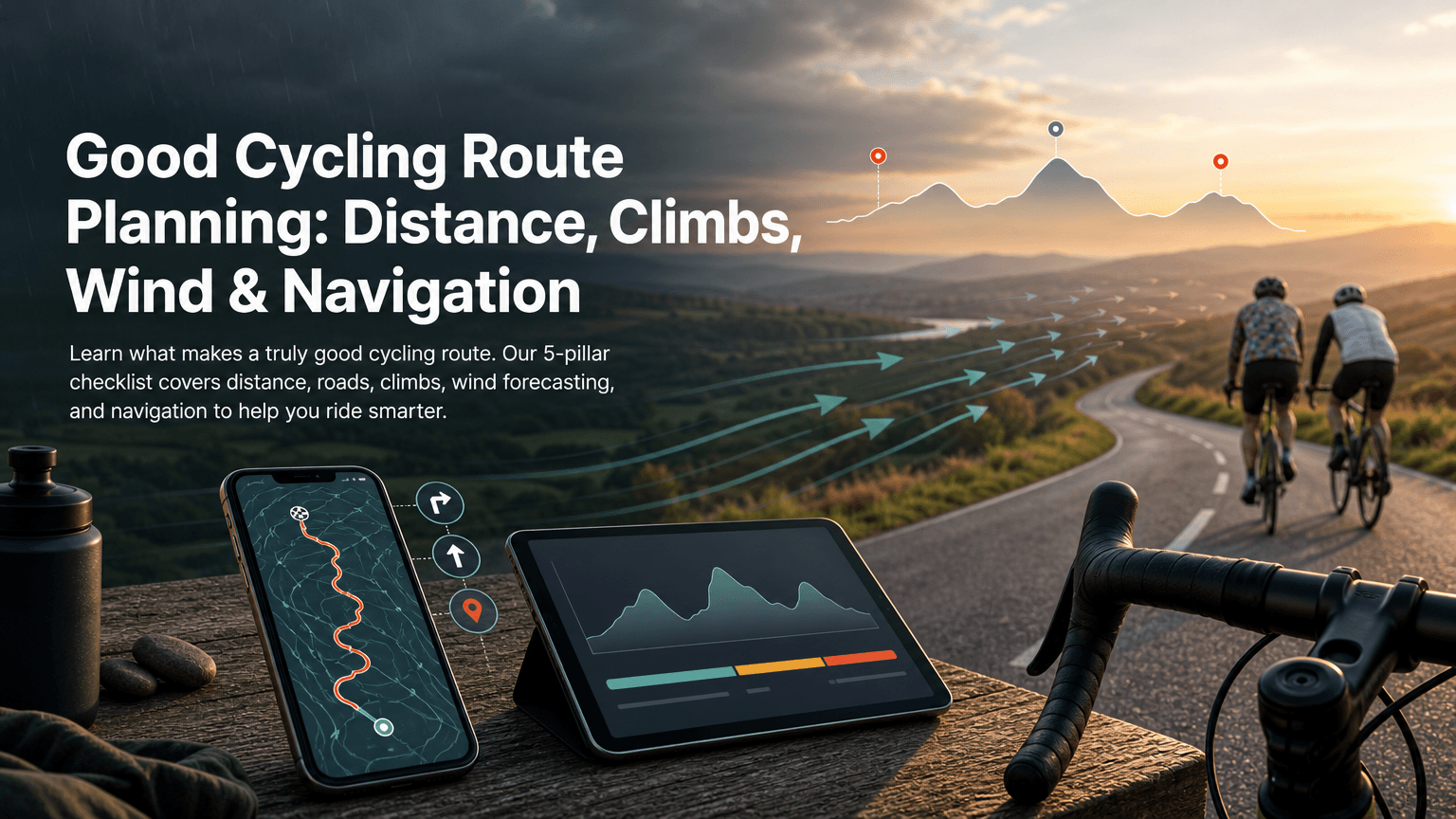
What makes a good cycling route? Distance, climbs, wind and navigation
Distance and elevation are not enough. Check roads, climbs, wind along your actual line, and whether you can follow it — then pick the departure hour with a Tailwind Score.
·10 min read
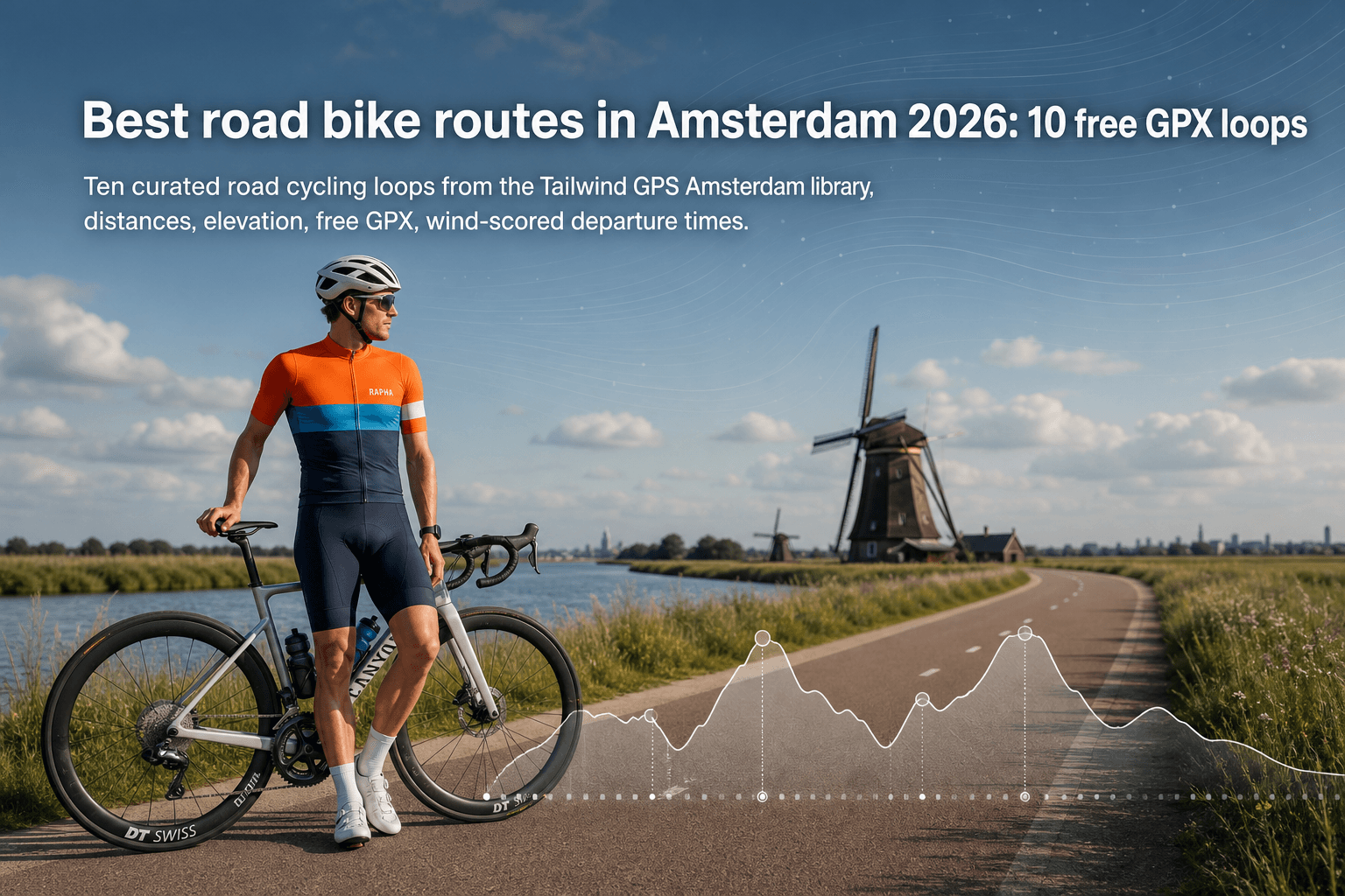
Best road bike routes in Amsterdam 2026: 10 free GPX loops
Ten curated road cycling loops from the Tailwind GPS Amsterdam library — distances, elevation, free GPX downloads, and wind-scored departure times.
·3 min read
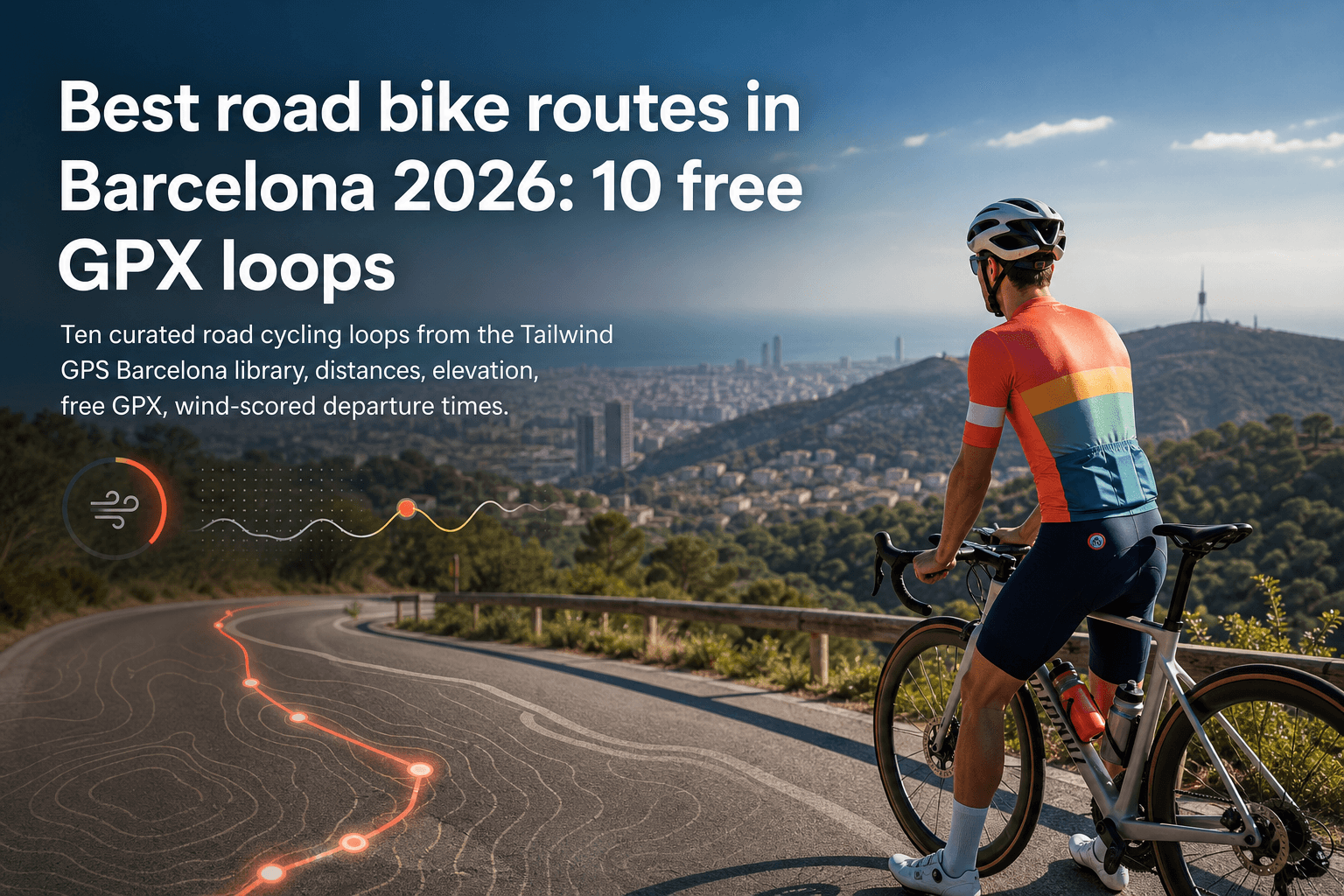
Best road bike routes in Barcelona 2026: 10 free GPX loops
Ten curated road cycling loops from the Tailwind GPS Barcelona library — distances, elevation, free GPX downloads, and wind-scored departure times.
·3 min read