Tailwind GPS vs Komoot for cycling routes (2026)
Tailwind GPS vs Komoot compared for cycling. See which app wins for wind scoring, departure timing, turn-by-turn navigation, GPX, and when to use both.
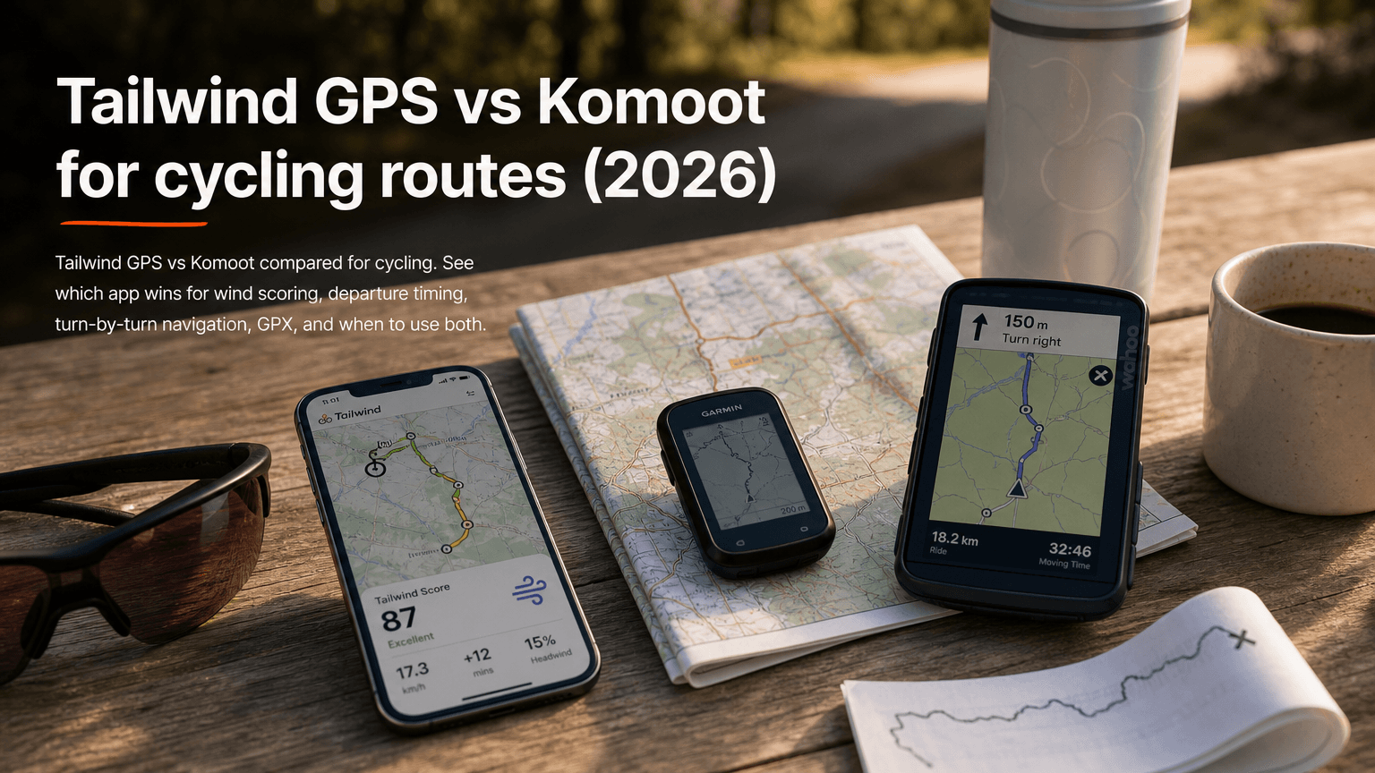
You've already chosen the route. You know roughly when you want to ride. But which hour will actually feel good out there? That's the question neither your phone's weather app nor your navigation app properly answers. This comparison breaks down exactly where Tailwind GPS and Komoot sit in your planning workflow, what each does well, and when it makes sense to use both.
Quick verdict: the short version
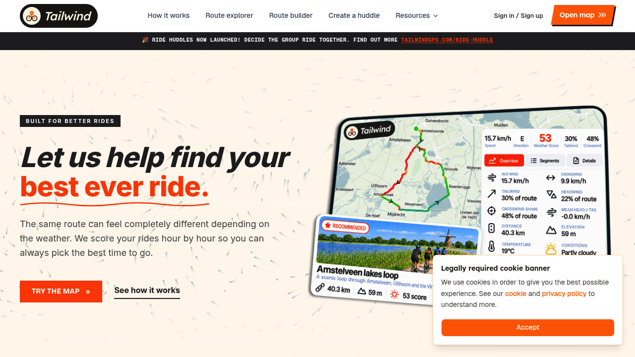
Tailwind GPS answers the departure-time question. It takes your saved route, runs wind direction, temperature, and rain probability along every section of it, and gives you a single Tailwind Score (0–100) for every hour you could leave. The number tells you whether 7am will be a 78 or a 34 compared to leaving at 10am.
Komoot answers the "where and how" question. It's a route discovery and navigation platform, and Komoot Premium adds a weather overlay so you can see conditions along the route while you're planning or riding. That overlay is genuinely useful for kit decisions and awareness, but it doesn't collapse everything into an hourly departure score the way Tailwind GPS does.
The two tools aren't really rivals. They're different parts of the same workflow, and the smartest riders already use both together.
Side-by-side feature comparison
| Feature | Tailwind GPS | Komoot |
|---|---|---|
| Wind/weather scoring | Hour-by-hour Tailwind Score (0–100) per route | Weather overlay along route (Premium) |
| Departure-time optimisation | Yes, scored per hour across forecast window | No hourly departure score |
| Route-specific forecast | Full route, every section, personalised to riding speed | Weather displayed along planned route |
| Forecast horizon (free) | 3-day wind forecast | Not separated by plan tier |
| Forecast horizon (paid) | 14-day wind forecast | Included in Premium |
| Turn-by-turn navigation | Browser-based with voice instructions | App-based, full voice navigation |
| Offline maps | Not applicable (web-based) | Route + regional downloads (Premium/World Pack required for custom areas) |
| GPX export | Yes, full route geometry | Yes, route geometry only (waypoints and Komoot maps not included) |
| GPX import | Yes | Yes |
| Strava integration | Yes, import your Strava routes automatically | Yes |
| Saved routes (free) | Up to 3 routes | Unlimited route saving |
| Saved routes (paid) | Up to 60 routes | Unlimited |
| Alerts and notifications | Email alerts, weather score notifications, weekly summaries (subscriber) | Live tracking sharing (Premium) |
| Route discovery | Not the focus | Core feature |
| Multi-day planning | Up to 14-day score window | Multi-day routes (Premium) |
| Platform | Web-first (browser, add to home screen) | App-centric (iOS/Android) + web planning |
| Free tier | Yes, 3 routes + 3-day forecast | Yes |
| Paid pricing | $2.99/month or $19.99/year | €4.99/month or €59.99/year |
| Best for | Deciding when to leave | Discovering and navigating routes |
How the weather features actually differ
This is probably the most important distinction in the whole comparison, so it's worth spelling out clearly.
When you open Komoot Premium's weather feature, you see conditions overlaid along your planned route: temperature, rain, wind direction, and daylight. It's described on Komoot's own Premium page as "dynamic weather forecasts that cover every inch of your adventure." That's a genuinely helpful view, especially for multi-day tours where you want to see what tomorrow's mountain section might look like. But you're still the one interpreting the data and deciding when to leave.
Tailwind GPS takes a different approach. Every saved route receives a Tailwind Score between 0 and 100 for each departure hour within your forecast window. The score is calculated across the entire route, with wind direction, temperature, and rainfall analysed for every section, taking your expected riding speed into account. So the app knows that if you leave at 8am, you'll be on the exposed eastern section at 9:15am, and it weights that accordingly.
The score bands are straightforward: 80–100 is excellent (favourable tailwinds for most of the ride), 55–79 is great, 40–54 is neutral, 20–39 is challenging, and 0–19 means you'll be working hard.
For departure-time optimisation, there's no direct equivalent in Komoot. That's why wind-scored Komoot alternatives keep coming up when riders want a leave-now answer rather than another overlay.
When Tailwind GPS is the right choice
If you ride the same routes regularly, Tailwind GPS is where it clicks. You've got the Tuesday evening loop, the Saturday morning longer ride, maybe a commute route. You don't need to discover new roads every week; you need to know whether Tuesday at 6pm will be better than Wednesday at 7am.
Tailwind GPS's free plan gives you up to 3 saved routes and a 3-day wind forecast, which is plenty for most regular riders to get started. The subscriber plan ($2.99/month or $19.99/year) extends that to 60 saved routes, a 14-day forecast window, email alerts when a route hits your chosen score threshold, weather score notifications, and weekly ride summaries that flag the best upcoming windows across your routes.
Those alerts and summaries matter more than they might sound. If you've got limited slots in the week to ride, you don't want to be checking forecasts manually every morning. Set a score threshold, and Tailwind GPS emails you when conditions align.
Navigation is handled simply: once you've decided on your route and departure time, you can navigate directly from your browser with turn-by-turn voice guidance. If you prefer to ride with a Garmin or Wahoo, export the GPX file and load it as normal.
When Komoot is the right choice
Komoot earns its place when you're planning routes you haven't ridden before or want a polished, app-based navigation experience. The route discovery side is genuinely good: you can surface routes by activity type, surface, and region, with community-contributed tips attached.
Komoot Premium adds weather on route (so you can check conditions as you plan or ride), multi-day routes, live tracking, personal collections, sport-specific maps, and 3D maps. For bikepacking trips or long adventures where you're away from home, the offline map support is particularly useful. There's no global offline switch; you download routes or regional maps in advance, and custom area downloads require Premium or the World Pack. That's worth knowing before you set off somewhere remote.
The GPX export works, but it's worth noting that Komoot's GPX exports include only the route geometry (GPS coordinates). Waypoints added during planning, voice navigation, and Komoot maps are not included in the exported file. Also, the region where the route starts must be unlocked before you can export. Neither of these are dealbreakers, but they're practical details to factor in.
For multi-day touring, Komoot is the stronger standalone choice. For returning to your regular Sunday loop and wanting to know the best departure hour, it doesn't give you that answer directly.

The workflow that gets the most out of both
You don't have to pick one. A lot of cyclists use Tailwind GPS and Komoot as complementary tools because they genuinely do different jobs.
The workflow looks like this: score and time your ride in Tailwind GPS, then export the GPX file and load it into Komoot for turn-by-turn navigation with offline maps. You get Tailwind GPS's departure-hour decision-making and Komoot's navigation quality in the same ride.
To make that work, connect your Strava account in Tailwind GPS to import your existing routes automatically, check the hourly scores to pick your best window, then export the GPX when you're ready to ride. Load it into Komoot, download the route for offline use if needed, and go.
Try it now
Open the map, save a route, and see which departure hour scores highest this week.
Pricing and platform at a glance
Tailwind GPS is free for up to 3 routes with a 3-day forecast. The subscriber plan costs $2.99/month or $19.99/year and adds 60 tracked routes, a 14-day forecast, email alerts, weekly summaries, and Headwind Training mode. There's no app to download; it runs in your browser and can be added to your home screen.
Komoot has a free tier with core planning and navigation features. Komoot Premium costs €4.99/month or €59.99 billed annually and adds weather on route, multi-day routes, live tracking, offline custom area downloads, sport-specific maps, 3D maps, and Garmin device map support. Komoot is primarily an app (iOS and Android) with web planning also available.
Pricing is in different currencies because both companies publish in their home market currencies. You'll need to check the current exchange rate if that affects your decision.
Who should choose which
If your main frustration is not knowing whether this evening or tomorrow morning will be better for your usual route, Tailwind GPS answers that directly. It's built for exactly that decision.
If you're planning routes you've never ridden, want voice navigation while exploring, or are preparing for a multi-day adventure where offline maps matter, Komoot is the better tool.
And if you want both: score in Tailwind GPS, navigate in Komoot. That's the setup that covers the full workflow from departure-time confidence to on-road guidance.
Frequently asked questions
Does Tailwind GPS replace Komoot? No. Tailwind GPS focuses on departure-time optimisation using route-specific wind scoring. Komoot focuses on route discovery and in-ride navigation. They work well alongside each other.
Can I import my Komoot routes into Tailwind GPS? You can export a GPX file from Komoot (provided the region is unlocked) and upload it directly into Tailwind GPS. Alternatively, if your Komoot rides sync to Strava, connecting Strava to Tailwind GPS will pull your routes across automatically.
Does Tailwind GPS work offline? Tailwind GPS is web-based, so it requires an internet connection for forecasting. For offline navigation, export your GPX and use Komoot or a dedicated GPS device.
What does the Tailwind Score actually measure? Each score (0–100) reflects wind direction relative to your route heading, wind speed, temperature, and rain probability, all calculated section by section along the route and weighted to your expected riding speed. A score of 80+ means mostly favourable conditions; below 40 means you'll notice the resistance.
Is Komoot's weather feature the same as Tailwind GPS? They approach weather differently. Komoot Premium's "weather on route" overlay shows you forecasted conditions positioned along your planned route, useful for kit decisions and awareness during a tour. Tailwind GPS gives you a single composite score per departure hour so you can compare 7am versus 10am before you even leave the house.
Related posts
Tailwind GPS vs Strava route planner (2026)
Tailwind GPS vs Strava route planner compared. See which wins for discovery, wind scoring, departure timing, GPX, and when to use both together.
·7 min read

Introducing Ride Huddles: a simple way to choose your next group ride
Ride Huddle is a simple way for groups to choose a route together. Create a Huddle, add your routes, share one link, and let everyone vote — free, with no account required.
·2 min read

How to navigate a cycling route without getting lost
Stay on the line with in-browser turn-by-turn: voice prompts, navigate-to-start, and rerouting. Tailwind GPS is the phone navigation — export GPX only for a head unit.
·8 min read